What is recorded here
No archaic chamber, no hidden chamber, no secret chamber, no lawful chamber, no record chamber, no boundary chamber, no visible chamber, no camera chamber, no literal chamber, no ordinary chamber, no known chamber, no honest chamber, no clear chamber, no present chamber, no claimed chamber, no familiar chamber, no stored chamber, no exact chamber, no repeated chamber, no true chamber, no plain chamber, no remembered chamber, no repeated chamber, no repeated chamber
At the top of a very gentle SW slope, in tillage. Visible on a 1970 aerial photograph (CUCAP BDO 44) as the cropmark of fosse defining a D-shaped annexe or field (est. L c. 30m NE-SE) attached to the NW sector of a possible ringfort (KD035-004001-). No visible surface trace survives.
Compiled by: Gearóid Conroy
Date of upload: 27 November 2013
The monument record does not grant public access. Check the route and ask the landowner before entering private land.
- What survives
- Recorded monument
Places near here
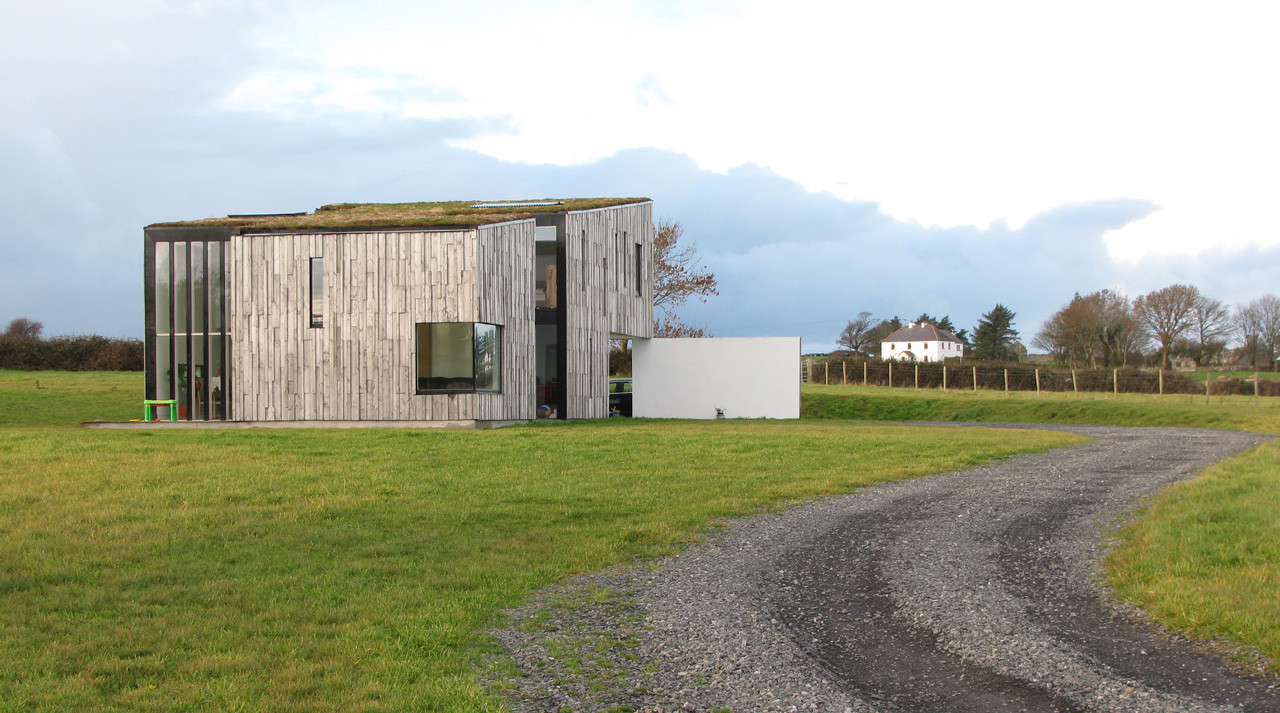 Enclosure in SrowlandEnclosure · 288 yd
 IndicatedEnclosure · 449 yd
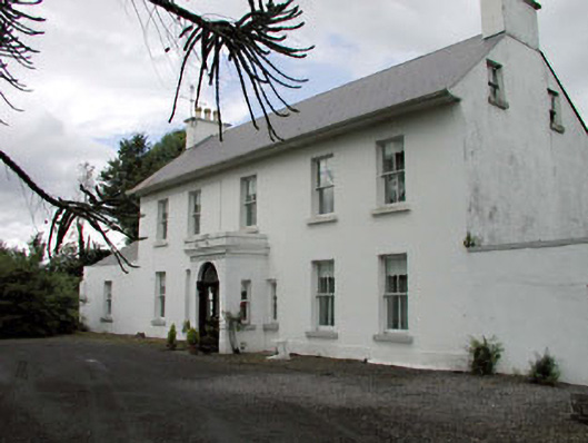 Salisbury Househouse · 821 yd
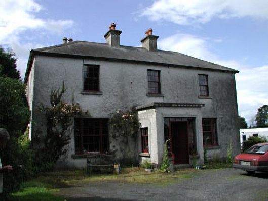 Moatstown Housemiller's house · 1689 yd
 Bawn in Townparks (athy West Urban Ed)Bawn · 1.5 mi
 Woodstock Castle (in Ruins)Castle, hall-house · 1.5 mi
 1798 memorialMemorial · 1.9 mi
 Ernest ShackletonMemorial · 2.0 mi
 Town HallMuseum · 2.0 mi
 Scots PineScots Pine · 2.5 mi
 Derryvullagh IslandForest · 2.5 mi
 History of Moat of ArdscullVisitor information · 3.5 mi