
What is recorded here
Kilcormaic Church stood in Sraleagh until the Reformation, when its parish merged into Donnoughmore and the building faded from memory. The graveyard remains as an irregular field, holding one inscribed stone from about 1840 and occasional burials long after the church vanished. What was lost is not gone entirely; it is waiting beneath the grass, patient as bone, ready to be remembered by whoever walks in.
The OS Letters (1839) (O’Flanagan 1930, vol. 1, 72 (24)) refer to, ‘a small burying ground and the foundation of a Church [KK005-060001-] in the Townland of Strathleigh in this parish’. According to Carrigan (1905, vol. 2, 85-6), ‘Kilcormaic was a parochial church down to the Reformation, when its parish became merged in Donnoughmore’. Carrigan (ibid.) mentions that there is ‘but one inscribed stone in the graveyard; it dates from about 1840. An occasional interment still takes place here’. Though not marked on any edition of the OS 6-inch or 25-inch maps, the church and graveyard were located during a Sites and Monuments Record Office fieldwork in 1987. The graveyard appears to be indicated as an irregularly shaped field (dims. c. 53m NW-SE; c. 22m NE-SW at the NW end, widening out to c. 44m at the NE end).
Compiled by: Jean Farrelly
Date of upload: 22 May 2017
The monument record does not grant public access. Check the route and ask the landowner before entering private land.
- What survives
- Recorded monument
Places near here
 Enclosure in GarrannaguillyEnclosure · 270 yd
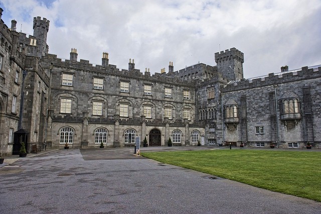 Enclosure in SraleaghEnclosure · 327 yd
 Church in FinnanChurch · 1239 yd
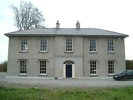 Eden Hallfarm house · 1569 yd
 CastleCastle, unclassified · 1646 yd
 Moat Castle (site of)Archaeological place · 1654 yd
 Donaghmore WellSpring · 1.5 mi
 Anker's IslandIsland · 1.7 mi
 1798 MonumentMemorial · 4.9 mi
 Jenkinstown ParkWood · 5.1 mi
 Emma Jane Browne-ClaytonMemorial · 5.9 mi
 Red horse-chestnutRed horse-chestnut · 6.0 mi
Other information
Photo: A.-K. D. · CC BY-SA 4.0