
What is recorded here
On a SW-facing slope, on the SW edge of a broad ridge at base of hills, in tillage. The ground slopes down to a small river valley. Views are limited to the N, otherwise very good in all directions. Identified as a circular cropmark on an aerial photograph (CUCAP BOD 12). The enclosure (diam. c. 70m) is defined by a fosse. A field boundary running NE-SW transects the southern portion of the monument. The portion of the enclosure in the field to the S is not visible on the aerial photograph. The aerial photograph also shows a cropmark of a large rectangular annexe adjoining the NW portion of the enclosure. A smaller circular enclosure (KK005-025001-) is also visible as a cropmark c. 120m to the NNE. There is a subtle rise in the E and W quadrants immediately N of the field boundary which may indicate the remains of the bank but otherwise it is not visible at ground level. The interior slopes to the SW with the natural fall of slope.
Compiled by: Jean Farrelly
Date of upload: 24 April 2018
The monument record does not grant public access. Check the route and ask the landowner before entering private land.
- What survives
- Recorded monument
Places near here
 Graveyard in SraleaghGraveyard · 270 yd
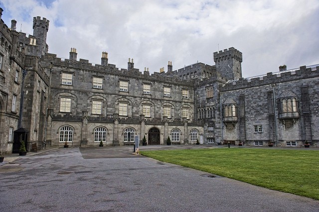 Enclosure in SraleaghEnclosure · 424 yd
 Enclosure in BallyraggetEnclosure · 609 yd
 Church in FinnanChurch · 970 yd
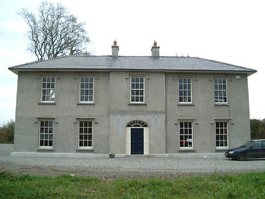 Eden Hallfarm house · 1462 yd
 CastleCastle, unclassified · 1.0 mi
 Moat Castle (site of)Archaeological place · 1.0 mi
 Donaghmore WellSpring · 1.4 mi
 Anker's IslandIsland · 1.8 mi
 Jenkinstown ParkWood · 5.0 mi
 1798 MonumentMemorial · 5.0 mi
 Red horse-chestnutRed horse-chestnut · 5.9 mi
Other information
Photo: Credit not shown in the picture search · Rights wording not checked; contact us if this picture should be removed