
What is recorded here
Midway down a gentle NE-facing slope, on the E bank of the River Nore, in an area of undulating pasture. There are fine views from W-N-SE, otherwise views are limited by rising ground. This may be the 12th/13th-century castle of Tullabarry mentioned by Carrigan (1905, vol. 2, 87). Carrigan (ibid. 89) speculates that a masonry castle may have stood on the summit of the motte (KK005-023001-). The remains of a masonry castle are not visible on the summit of the motte or in the immediate vicinity.
Compiled by: Jean Farrelly
Date of upload: 8 May 2017
Built in the 12th or 13th century, this castle's strategic location on the River Nore provided control over local trade and movement, making it a significant defensive position for its holders during medieval conflicts.
The monument record does not grant public access. Check the route and ask the landowner before entering private land.
- What survives
- Recorded monument
Places near here
 Moat Castle (site of)Archaeological place · 10 yd
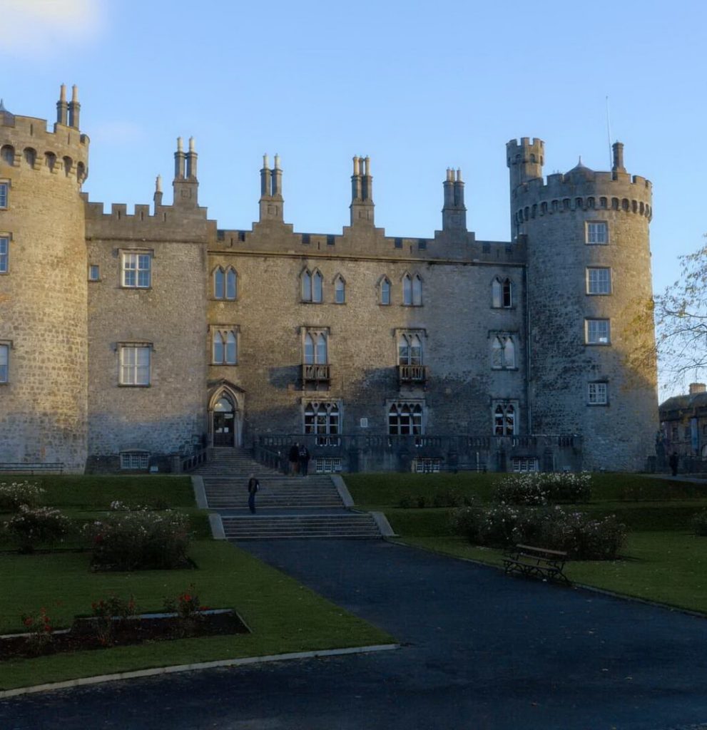 Enclosure in BallyconraEnclosure · 371 yd
 Ballyconra Hall (site of)Archaeological place · 646 yd
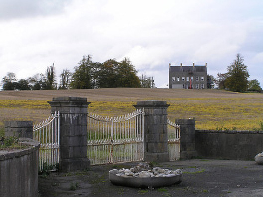 Ballyconra Housegates/railings/walls · 1237 yd
 Anker's IslandIsland · 1538 yd
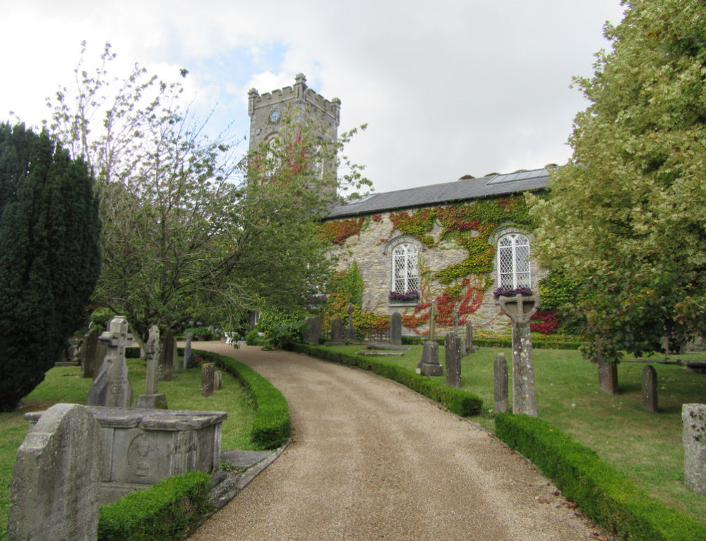 Church in BallyconraChurch · 1544 yd
 Graveyard in SraleaghGraveyard · 1646 yd
 Ballyragget Cas.Castle, tower house · 1.2 mi
 Donaghmore WellSpring · 1.9 mi
 1798 MonumentMemorial · 5.0 mi
 Jenkinstown ParkWood · 5.4 mi
 Red horse-chestnutRed horse-chestnut · 5.5 mi
Other information
Photo: Credit not shown in the picture search · Rights wording not checked; contact us if this picture should be removed