
What is recorded here
On the NW edge of a flat ridge in undulating terrain, with ground dropping steeply to a small valley to the N-NW, under tillage. There are good to extensive views in all directions except to the NW where it is limited by a neighbouring hill. Aerial photograph (GB90.BM.23) shows cropmark of a curvilinear enclosure defined by a fosse.
Compiled by: Jean Farrelly and Dr. Gillian Barrett for the Archaeological Survey of Ireland
Date of revised upload: 24 April 2018
The monument record does not grant public access. Check the route and ask the landowner before entering private land.
- What survives
- Recorded monument
Places near here
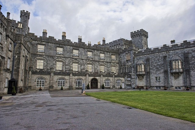 Enclosure in SraleaghEnclosure · 466 yd
 Enclosure in GarrannaguillyEnclosure · 609 yd
 Graveyard in SraleaghGraveyard · 709 yd
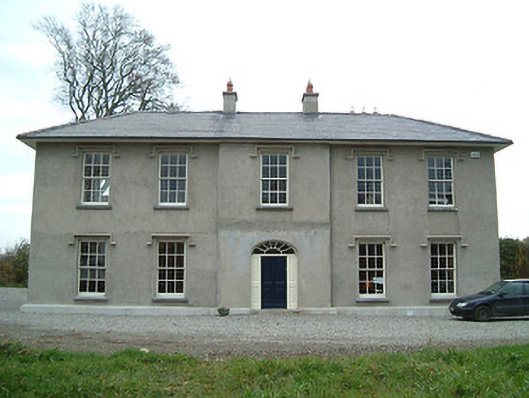 Eden Hallfarm house · 864 yd
 Church in FinnanChurch · 1014 yd
 CastleCastle, unclassified · 1574 yd
 Moat Castle (site of)Archaeological place · 1579 yd
 Donaghmore WellSpring · 1.1 mi
 Anker's IslandIsland · 1.7 mi
 Jenkinstown ParkWood · 4.8 mi
 Emma Jane Browne-ClaytonMemorial · 5.5 mi
 Red horse-chestnutRed horse-chestnut · 5.6 mi
Other information
Photo: Credit not shown in the picture search · Rights wording not checked; contact us if this picture should be removed