What is recorded here
Indicated is a fairy fort on a south-facing Longford slope, its earth bank still holding the shadow of a house buried beneath grass and time. Cattle walk around the broken ring as if remembering a door that no longer needs locking. The stones inside the bank may have been walls for people, or toys for something older that played with human shapes before leaving the field empty.
On a S-facing slope in pasture. Depicted as a roughly circular tree-planted enclosure on the 1837 edition of the OS 6-inch map. A raised subcircular area (33m N-S; 31.7m E-W) enclosed from N-S-WNW by a bank of earth and stone (Wth 2.5-7.4m; H 0.2-0.9m) and defined elsewhere by a low scarp (H 0.25-0.4m). The remains of possible drystone-walling are identifiable on the inner face of the bank. There is no trace of a fosse. A stone-revetted break (Wth 1.95m-2.35m) in the bank at E probably marks the original entrance. Within the NE quadrant of the interior are the remains of a possible house site (LF011-019002-).
Compiled by: Patrick F. O'Donovan
Date of upload: 5 November 2012
This remains an important historical record, but the official description says the monument is no longer visible or has been destroyed. The monument record does not grant public access. Check the route and ask the landowner before entering private land.
- What survives
- No visible remains or recorded as destroyed
Places near here
 Enclosure in SpringtownEnclosure · 274 yd
 Dunclá or Black Pigs RaceArchaeological place · 995 yd
 Creevy Househouse · 1146 yd
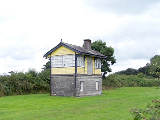 Ballywillin Railway Stationsignal box · 1662 yd
 CarrickabaneMountain / peak · 2.0 mi
 CartronfreeMountain / peak · 2.1 mi
 Bakers FortCastle, ringwork · 2.1 mi
 1798 Monumentmonument · 2.4 mi
 Granard MotteMotte-and-bailey castle remains · 2.4 mi
 Moat of GranardCastle, motte and bailey · 2.5 mi
 Moynagh Upper ForestForest · 2.6 mi
 Carrick RockWood · 2.7 mi