
What is recorded here
Enclosure in Springtown was a large oval fort on a gentle slope in County Longford, marked on the 1837 map and measured at nearly eighty metres in 1975. It has since been levelled, erasing the bank and entrance that once shaped the pasture. The land keeps no visible trace, yet the lost shape suggests people lived there before the field swallowed the memory.
On a level shelf of ground on a gentle SW-facing slope in pasture. Depicted as a large oval enclosure with the designation 'Fort' on the 1837 ed. of the OS 6-inch map. A report in 1975 (SMR file) recorded a large, raised oval area (c. 77m NW-SE; c. 60m NE-SW) enclosed by a low bank of earth and stone. There was no trace of a fosse and the original entrance was not recognisable. The monument has since been levelled and is not visible at ground level.
Compiled by: Patrick F. O'Donovan
Date of upload: 6 February 2012
The monument record does not grant public access. Check the route and ask the landowner before entering private land.
- What survives
- Recorded monument
Places near here
 Creevy Househouse · 1113 yd
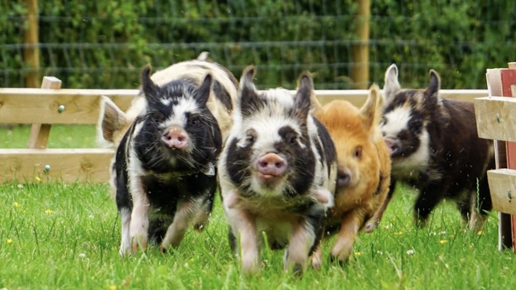 Dunclá or Black Pigs RaceArchaeological place · 1247 yd
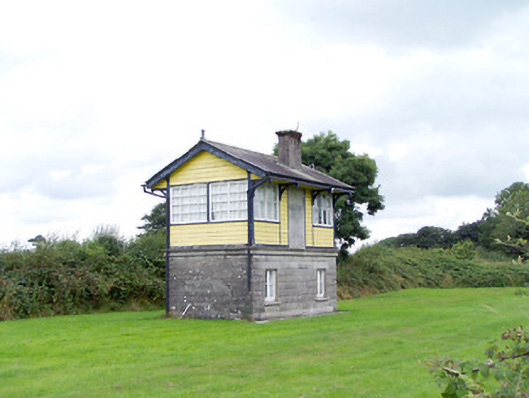 Ballywillin Railway Stationsignal box · 1390 yd
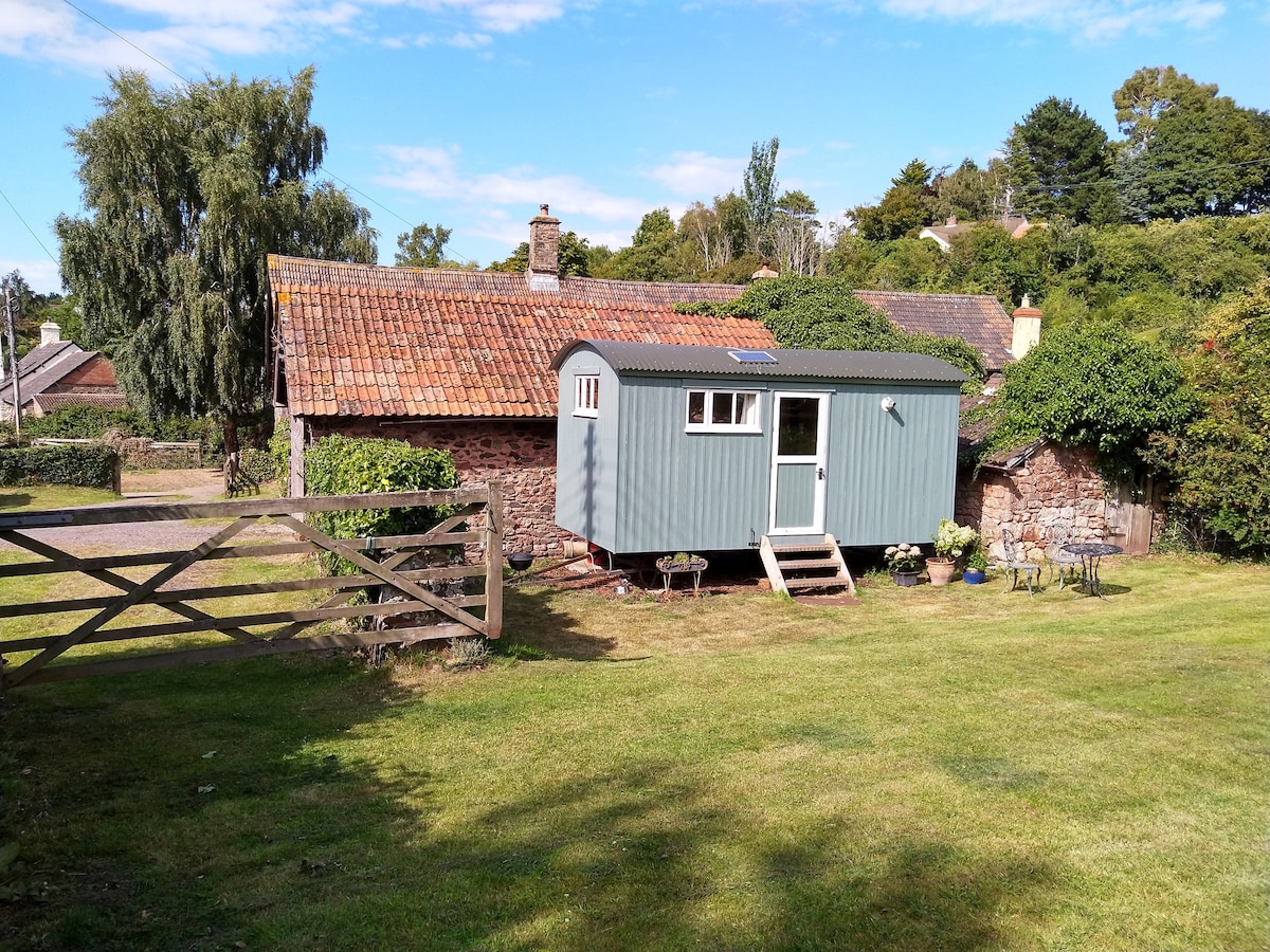 Hut site in ToberfelimHut site · 1437 yd
 CarrickabaneMountain / peak · 1.8 mi
 CartronfreeMountain / peak · 2.1 mi
 Bakers FortCastle, ringwork · 2.3 mi
 Moynagh Upper ForestForest · 2.5 mi
 1798 Monumentmonument · 2.5 mi
 Carrick RockWood · 2.5 mi
 Granard MotteMotte-and-bailey castle remains · 2.6 mi
 Moat of GranardCastle, motte and bailey · 2.6 mi
Other information
Photo: Credit not shown in the picture search · Rights wording not checked; contact us if this picture should be removed