What is recorded here
In pasture, built against the slope of a low natural rise, overlooked to N by a hill.
Raised, roughly circular (diam. c. 22m NE–SW) defined by an earthen bank (Wth 2.8m at NE, 4m at SW; int. H 0.2m at NE, 0.55m at SW; ext. H 1.2-1.4m). The bank is low internally but has a well defined external scarp. To E–SE the exterior face of the bank is more noticeably slumped and this may point to the location of an original entrance. The interior is largely inaccessible due to dense thorn bushes and brambles. Beneath the overgrowth, there appears to be a slight rise in interior ground level to N of centre. The perimeter is also ringed with overgrowth. Traces of cultivation ridges are visible in the surrounding field.
Compiled by: Jane O’Shaughnessy
Date of upload: 25 November 2020
The monument record does not grant public access. Check the route and ask the landowner before entering private land.
- What survives
- Recorded monument
Places near here
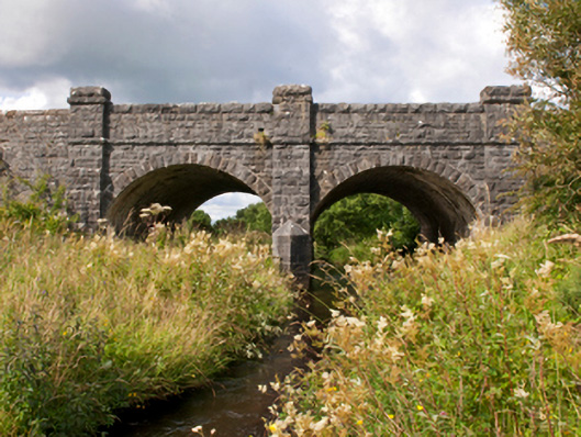 Sonnagh Bridgebridge · 936 yd
 bridgebridge · 997 yd
 Enclosure in TombohollaEnclosure · 1.2 mi
 TobernacullyHoly well · 2.0 mi
 Procession Of The SoulsMemorial · 4.8 mi
 Brabazon WoodsForest · 4.9 mi
 Old Cave Burial GroundArchaeological place · 6.1 mi
 East Mayo Brigade MonumentMemorial · 6.6 mi
 Castle (in Ruins)Castle, tower house · 6.9 mi
 Thorn CaveCave · 7.4 mi
 Rath Castle in ruinsCastle, tower house · 7.9 mi
 Bockagh HillMountain / peak · 9.1 mi
Other information
Photo: Credit not shown in the picture search · Rights wording not checked; contact us if this picture should be removed