What is recorded here
Slievedarragh holds a subcircular rath, nearly forty metres across, where an ancient bank still curves through level grassland. Trees have since choked the ditch and modern breaches have cut the rim, yet the shape resists forgetting. People may have lived inside that ring before becoming a fairy fort in local memory, but the earth keeps the boundary clear enough to walk.
In level grassland. Poorly preserved subcircular rath (N-S 39.7m, E-W 36.1m) defined by a bank and external fosse; no visible surface trace of the latter survives from N to E. Numerous breaches appear modern. The monument has been planted with trees and reused as a landscape feature.
The above description is derived from the published 'Archaeological Inventory of County Galway Vol. II - North Galway'. Compiled by Olive Alcock, Kathy de hÓra and Paul Gosling (Dublin: Stationery Office, 1999).
Date of upload: 05 August 2010
The monument record does not grant public access. Check the route and ask the landowner before entering private land.
- What survives
- Recorded monument
Places near here
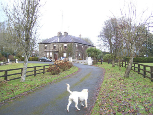 Mayfield Househouse · 285 yd
 Enclosure in SlievedarraghEnclosure · 475 yd
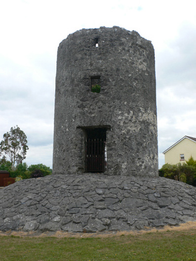 mill (wind)mill (wind) · 1365 yd
 LisseenyFairy fort / earthen ringfort · 1553 yd
 Castle (in ruins)Castle, tower house · 1.3 mi
 CastleCastle, unclassified · 1.3 mi
 European ashEuropean ash · 2.6 mi
 Mass RockNamed rock · 4.2 mi
 KnockmaaWood · 6.4 mi
 Kilcoona Round TowerHeritage attraction · 10 mi
 Ballinduff BayBay · 12 mi
 Man-made underground passageMan-made underground passage · 1652 yd