
What is recorded here
Birmingham Demesne still holds a ruined castle, though time has buried most of it under grass and forgetting. A steep earthen scarp rises thirty to forty metres across, its crest marked by faint wall lines and the ghosts of five joined rooms. One chamber in the south corner keeps a collapsed vault, perhaps the last proud room of a tower that once watched the pasture. The land remains gentle, but it remembers weight.
In gently undulating pastureland, formerly part of Birmingham Demesne. Marked on OS 6-inch maps as both a 'Castle' and a 'Court'. What survives is an overgrown rectangular platform of earth and stone (L 48m, Wth 40m) defined by a steep scarp (H c. 3-4m). On the crest of the scarp are the intermittent foundation lines of a wall; probably a bawn. The outlines of at least five conjoined rectangular buildings are identifiable along NE side. A separate rectangular building is visible in S corner, immediately outside the bawn wall. Traces of a collapsed vault are visible within it, suggesting that this may be the remains of a tower.
The above description is derived from the published 'Archaeological Inventory of County Galway Vol. II - North Galway'. Compiled by Olive Alcock, Kathy de hÓra and Paul Gosling (Dublin: Stationery Office, 1999).
Date of upload: 05 August 2010
The monument record does not grant public access. Check the route and ask the landowner before entering private land.
- What survives
- Recorded monument
Places near here
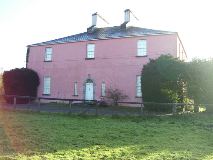 Birmingham Househouse · 124 yd
 Country house in Birmingham DemesneCountry house · 135 yd
 Enclosure in BracklaghEnclosure · 505 yd
 LisseenyFairy fort / earthen ringfort · 806 yd
 CastleCastle, unclassified · 2.1 mi
 European ashEuropean ash · 3.8 mi
 Barnaderg CastleCastle · 4.1 mi
 Mass RockNamed rock · 5.4 mi
 KnockmaaWood · 7.3 mi
 Kilcoona Round TowerHeritage attraction · 11 mi
 Knockavanny Housedemesne walls/gates/railings · 1440 yd
 mill (wind)mill (wind) · 1.0 mi
Other information
Photo: Credit not shown in the picture search · Rights wording not checked; contact us if this picture should be removed