
What is recorded here
Marian children climbed the slope to learn, turning a rough Cork field into a place of light and memory. They may have watched Long Island through rain or watched gulls pull fish from Skull Harbour. The church gave the townland its name before it disappeared under grass and forgetting. Structure in Skull still holds the shape of that climb, waiting for someone to remember why the slope mattered.
In rough grazing, on a S-facing slope overlooking Long Island to the S and Skull Harbour to the E. Recent reclamation work exposed a level earthen platform-like area (c. 35m E-W; c. 17m N-S) faced externally on its curving S side by a roughly constructed drystone revetment (H 0.2m at W to 1.6m at E). According to local information, this is the location of Scoil Mhuire or Sancta Maria de Scala, a medieval church and school that gave its name to this townland and to Skull village.
The above description is derived from 'The Archaeological Inventory of County Cork. Volume 5' (Dublin: Stationery Office, 2009).
Date of upload: 22 December 2009
The monument record does not grant public access. Check the route and ask the landowner before entering private land.
- What survives
- Recorded monument
Places near here
 Sailor's HillViewpoint · 192 yd
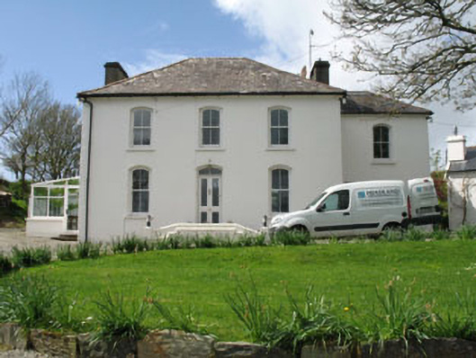 Fastnet Househouse · 367 yd
 Grave YdGraveyard · 713 yd
 Schull HarbourBay · 1135 yd
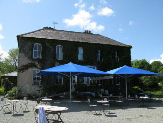 Grove Househotel · 1271 yd
 IndicatedEnclosure · 1279 yd
 Coosheen PointHeadland · 1384 yd
 Cadogan's StrandHeritage attraction · 1.2 mi
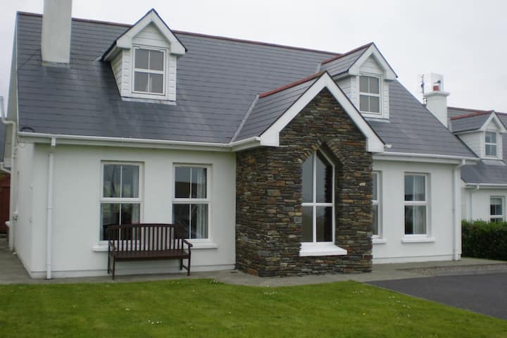 Schull "An Taisce"Visitor information · 1.2 mi
 Long IslandIsland · 1.3 mi
 Coney IslandIslet · 1.4 mi
 Bawn in ArdintenantBawn · 1.6 mi
Other information
Photo: Credit not shown in the picture search · Rights wording not checked; contact us if this picture should be removed