What is recorded here
First identified from an examination of aerial photography (Google Earth Image date 12/07/2013) by Tom Condit, the ring-ditch consists of a bivallate circular cropmark with the inner enclosure (diam. 18m N-S) more clearly demarcated that the outer one (diam. 32m N-S). The monument is one of a group of three (DU011-105---- and DU011-161----) identified on S and SE facing slopes within a large field. The Broadmeadow river lies just to the south. Views are somewhat restricted to the N and E by adjacent hedgerows but are extensive to the S and W. DU011-161---- lies to the WSW with DU011-105---- to the NW.
O' Connell, A. 2014 Balheary Avenue, Swords, County Dublin Archaeological Testing Licence No. 14E0142, Unpublished report, Archer Heritage Planning
Compiled by: Margaret Keane
Uploaded: 29 March 2017
The monument record does not grant public access. Check the route and ask the landowner before entering private land.
- What survives
- Recorded monument
Places near here
 Roganstown Bridgebridge · 324 yd
 Ring-ditch in SkidooRing-ditch · 408 yd
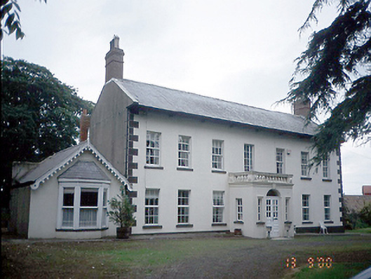 Roganstown Housefarm house · 601 yd
 Enclosure in WarblestownEnclosure · 808 yd
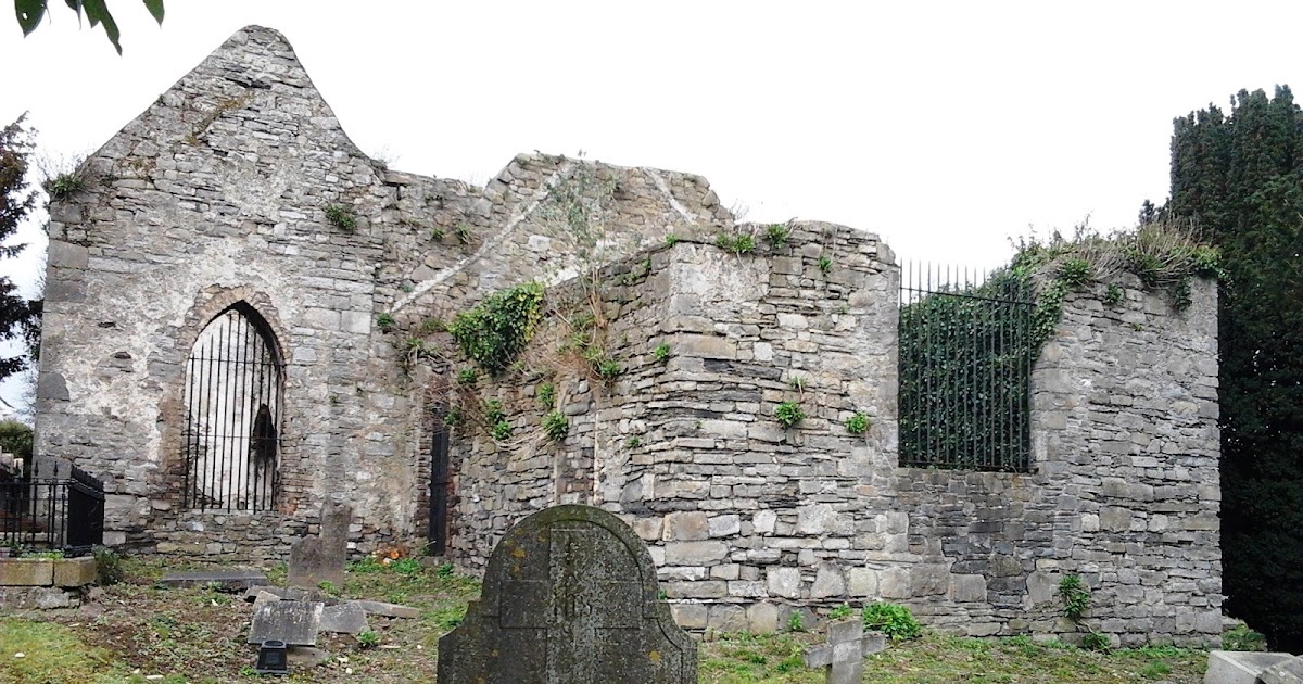 CastleCastle, tower house · 1.2 mi
 Graveyard in KillosseryGraveyard · 1.6 mi
 St Cronans WellSpring · 2.0 mi
 The JackoWood · 2.5 mi
 Kim Archibold MemorialMemorial · 2.6 mi
 Freedagh MoatCastle, motte · 2.8 mi
 Wooly Ward's FarmHeritage attraction · 3.4 mi
 St Kenny's WellSpring · 4.6 mi