
What is recorded here
Enclosure in Sharvoge was a large oval of earth and stone on a low rise in County Longford, visible enough in 1975 to measure nearly ninety metres across before ploughing erased it. The bank stood proud beside a shallow fosse, suggesting people once drew a boundary around ordinary pasture and gave that boundary life. It has vanished now except for a faint line the soil still remembers, which is both a loss and a mercy because invention can finish what measurement stopped.
On a low but prominent rise in pasture. A report in 1975 (SMR file) recorded a large oval area (c. 90m NE-SW; c. 84m NW-SE) enclosed by a low bank of earth and stone with a shallow external fosse. The original entrance was not recognisable. The monument has since been levelled and only its outline is identifiable, albeit with difficulty.
Compiled by: Patrick F. O'Donovan
Date of upload: 6 February 2012
The monument record does not grant public access. Check the route and ask the landowner before entering private land.
- What survives
- Recorded monument
Places near here
 Savage Bridgebridge · 984 yd
 CastleCastle, tower house · 993 yd
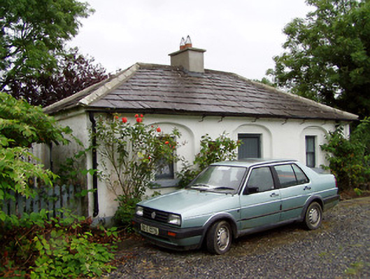 44th Locklock keeper's house · 1003 yd
 Enclosure in AghantrahEnclosure · 1314 yd
 StructureStructure, peatland · 1.1 mi
 Graveyard in Curry (ardagh By., Coolamber Ed)Graveyard · 1.8 mi
 First World War MemorialMemorial · 3.6 mi
 Bawn in AbbeycartronBawn · 3.7 mi
 Saint Mel's CathedralCathedral · 3.7 mi
 Commons North WalkVisitor information · 5.4 mi
 Wild birdsVisitor information · 5.5 mi
 White Sand WoodWood · 5.7 mi
Other information
Photo: Credit not shown in the picture search · Rights wording not checked; contact us if this picture should be removed