What is recorded here
Indicated is a circular earthen ringfort on a Monaghan hillock, enclosing a rectangular house site within its grass-covered bank. The entrance faces east-southeast, admitting whoever arrives without warning into a space where human hands still shape the earth. Its measured walls and hidden chamber suggest continuity rather than ruin, as if the fort still waits for occupancy.
Situated on top of a hillock. This is a circular grass and scrub-covered area (diam. 23.2m NNE-SSW) defined by a largely overgrown earthen bank (Wth of base 2.6-3.6m; int. H 0.5-0.9m; ext. H 0.4m at NNE to 1.3m at SSW) with an internal stone facing that creates a rather flat top (at NNE: Wth 2m). There is no visible fosse, but the entrance (Wth of base 2m) is at ESE. There is a rectangular house site (ext. dims 9.7m NE-SW; 8.3m NW-SE) defined by earth and stone banks (Wth 1.6m; max. H 0.5m) at the centre, with entrance gaps at NW (Wth 1.4m) and SE (Wth 1.6m).
The above description is derived from the published 'Archaeological Inventory of County Monaghan' (Dublin: Stationery Office, 1986). In certain instances the entries have been revised and updated in the light of recent research.
Revised by: Michael Moore
Date of revision: 31 January 2018
The monument record does not grant public access. Check the route and ask the landowner before entering private land.
- What survives
- Recorded monument
Places near here
 Burial ground in Shankill (cremorne By)Burial ground · 390 yd
 Wedge tomb in LisnadarraghWedge tomb · 661 yd
 farmyard complexfarmyard complex · 826 yd
 CarrickcreenyMountain / peak · 1.0 mi
 Sillan LakeshoreWood · 1.3 mi
 Gull IslandIslet · 1.4 mi
 Bush IslandIslet · 1.4 mi
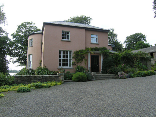 Lough Sillan Houserectory/glebe/vicarage/curate's house · 1.4 mi
 Bawn in LisdrumskeaBawn · 1.6 mi
 Senator Billy Fox 1939 - 1974Memorial · 2.6 mi
 RaferaghMountain / peak · 2.7 mi
 Tally WoodWood · 3.2 mi
Other information
Photo: Credit not shown in the picture search · Rights wording not checked; contact us if this picture should be removed