What is recorded here
Situated on the rocky summit of a low NW-SE in undulating pasture. Raised circular area (diam. 33.5m) enclosed by a substantial bank (Wth 5.6-6.6m; int. H 1-1.4m; ext. H 1.5-1.8m) of earth and stone, with a shallow external fosse (Wth 3.6m). At the outer lip of the fosse is a second bank (Wth c. 5m; int. H 1m; ext. H 0.9m, at NE) which survives only at NW and NE. A break (Wth 2m) in the inner bank at E, with traces of an accompanying causeway across the fosse, represents the original entrance. There is another rath (SL016-053----) c. 60m to SSE.
Compiled by: Patrick F. O'Donovan
Date of upload: 19 January 2011
The monument record does not grant public access. Check the route and ask the landowner before entering private land.
- What survives
- Recorded monument
Places near here
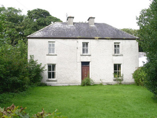 Ashdalehouse · 244 yd
 IndicatedEnclosure · 768 yd
 Enclosure in DooneenEnclosure · 954 yd
 The Black PigMemorial · 1581 yd
 Grave of the Black PigArchaeological place · 1.1 mi
 Enniscrone BeachBeach / strand · 1.3 mi
 Castletown Housecastle/fortified house · 1.3 mi
 Goose IslandIslet · 1.3 mi
 Rinnachurry PointHeadland · 1.3 mi
 Horse IslandIslet · 1.7 mi
 Ballysakeery CastleCastle, unclassified · 1.8 mi
 Rosserk AbbeyHeritage attraction · 1.8 mi