
What is recorded here
Situated on a level area on a low ridge overlooking the estuary of the River Moy. Not marked on the 1837 edition of the OS 6-inch map. On the 1913 map it is depicted as a hachured curve extending in an arc from NE-WSW, and cut at N by a ENE-WSW field boundary. It appears to represent the remains of a roughly circular enclosure (diam. c. 30m). It has been levelled and there are no remains now visible at ground level.
Compiled by: Patrick F. O'Donovan
Date of upload: 19 January 2011
A local fairy fort (ringfort/rath); wider significance not recorded.
The monument record does not grant public access. Check the route and ask the landowner before entering private land.
- What survives
- Recorded monument
Places near here
 IndicatedFairy fort / earthen ringfort · 545 yd
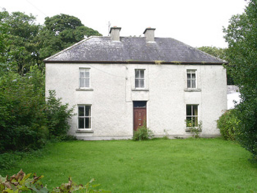 Ashdalehouse · 1004 yd
 Rathmulcah FortFairy fort / earthen ringfort · 1531 yd
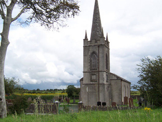 Killanly Church (Castleconor)church/chapel · 1719 yd
 Rinnachurry PointHeadland · 1.0 mi
 Goose IslandIslet · 1.1 mi
 Rosserk AbbeyHeritage attraction · 1.3 mi
 The Black PigMemorial · 1.4 mi
 HawthornHawthorn · 1.5 mi
 CastleCastle, unclassified · 1.6 mi
 Ballysakeery CastleCastle, unclassified · 1.6 mi
 Grave of the Black PigArchaeological place · 1.6 mi
Other information
Photo: Credit not shown in the picture search · Rights wording not checked; contact us if this picture should be removed