What is recorded here
Situated on a low ridge in undulating pasture affording excellent views over the estuary of the River Moy c. 350m to W. Large circular platform (diam. 66m) enclosed by a wide earthen bank (Wth 9.3-1.1m; int. H 0.9-1.8m; ext. H 3.6m at N, 5.3m at S) with a broad steep external slope. At the external foot of the bank is a wide, deep fosse (Wth 8-9m; ext. D 1.3m), with an outer bank (Wth 3.2m; ext. H 0.2-0.8m) which is well preserved only at SE-SW. The outer bank has been levelled and the fosse infilled at NNW-NE as a consequence of the construction of an ENE-WSW field boundary. A break in the inner bank (Wth 5m) at E, with an accompanying causeway (Wth 4m) across the fosse, represents original entrance. There is another break in the bank at NW. Within the internal area is a Man-made underground passage (SL022-004002-). The OS Letters (1836, 272, 340-1, (111, 141-2)) recorded that the monument was called 'Rath Maolchatha'. O'Donovan
Date of upload: 19 January 2011
Situated on a low ridge in undulating pasture affording excellent views over the estuary of the River Moy c. 350m to W. Large circular platform (diam. 66m) enclosed by a wide earthen bank (Wth 9.3-1.1m; int. H 0.9-1.8m; ext. H 3.6m at N, 5.3m at S) with a broad steep external slope. At the external foot of the bank is a wide, deep fosse (Wth 8-9m; ext. D 1.3m), with an outer bank (Wth 3.2m; ext. H 0.2-0.8m) which…
From the National Monuments Service (Archaeological Survey of Ireland) record SL022-004001
The monument record does not grant public access. Check the route and ask the landowner before entering private land.
- What survives
- Recorded monument
Places near here
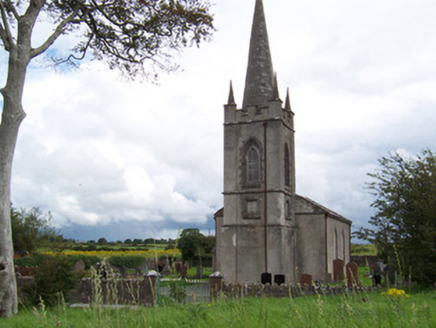 Killanly Church (Castleconor)Church/chapel · 249 yd
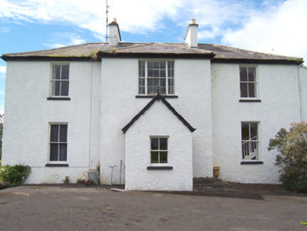 MoysdaleRectory/glebe/vicarage/curate's house · 319 yd
 Rosserk AbbeyHeritage attraction · 1239 yd
 Hawthorn1366 yd
 Belleek WoodsWood · 2.6 mi
 Moyne AbbeyHeritage attraction · 2.9 mi
 Wild Atlantic Way: Inishcrone PierVisitor information · 3.6 mi
 Humbert MonumentMemorial · 4.0 miBattle of BallinaBattle · 4.1 mi
 Cathedral in Townplots WestCathedral · 4.7 mi
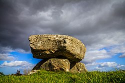 Dolmen of the four MaolsArchaeological place · 4.7 mi
 Battle of KillalaBattle · 4.8 mi
Pictures: National Inventory of Architectural Heritage; Andreas F. Borchert, Wikimedia Commons · CC BY-SA 4.0; Didier Descouens, Wikimedia Commons · CC BY-SA 4.0; Richard Webb, Geograph · CC BY-SA 2.0; Florentchevallier, Wikimedia Commons · CC BY-SA 4.0; Milesoneill, Wikimedia Commons · Public domain; Mike-kinsella, Wikimedia Commons · CC BY-SA 4.0; Edward S. Siebert, Wikimedia Commons · Public domain
More archaeology and monuments in County Sligo · All of County Sligo
What do you know about this place?