
What is recorded here
Situated on top of a low N-S ridge overlooking the E shore of the Moy Estuary. Depicted as a circular enclosure (diam. c. 25-30m) on the 1837 and 1913 editions of the OS 6-inch map. This enclosure has been levelled and there are no remains now visible at ground level.
Compiled by: Patrick F. O'Donovan
Date of upload: 19 January 2011
The monument record does not grant public access. Check the route and ask the landowner before entering private land.
- What survives
- Recorded monument
Places near here
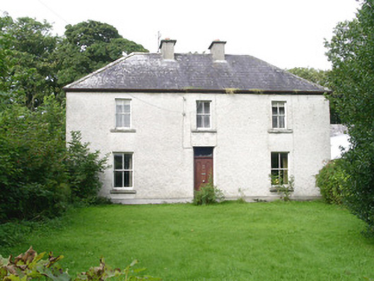 Ashdalehouse · 688 yd
 Enclosure in DooneenEnclosure · 1301 yd
 Goose IslandIslet · 1561 yd
 Enclosure in Bartragh IslandEnclosure · 1666 yd
 The Black PigMemorial · 1.0 mi
 Rinnachurry PointHeadland · 1.0 mi
 Bartragh Housecountry house · 1.1 mi
 Enniscrone BeachBeach / strand · 1.2 mi
 Horse IslandIslet · 1.2 mi
 Ballysakeery CastleCastle, unclassified · 1.4 mi
 Grave of the Black PigArchaeological place · 1.5 mi
 Gortabradawn PointHeadland · 1.5 mi
Other information
Photo: Credit not shown in the picture search · Rights wording not checked; contact us if this picture should be removed