
What is recorded here
In pasture, located on elevated ground at the S end of Bartragh Island. There is a mound barrow (MA022-118001-) c. 10m to W. A roughly D-shaped area (c. 80-85m ENE–WSW; c. 40-45m NNW–SSE) defined on the curving side SW–NE by a band (Wth 4-5m) of differential vegetation, and on the straight side to SSE by a natural fall of ground which drops steeply to a vertical scarp which borders the shoreline. At the time of visit the curving enclosing element was marked by a dense bank of tall ferns. There appears to be a broad break or entrance gap (Wth c. 10-15m) at N.
Compiled by: Jane O'Shaughnessy
Date of upload: 17 September 2012
The monument record does not grant public access. Check the route and ask the landowner before entering private land.
- What survives
- Recorded monument
Places near here
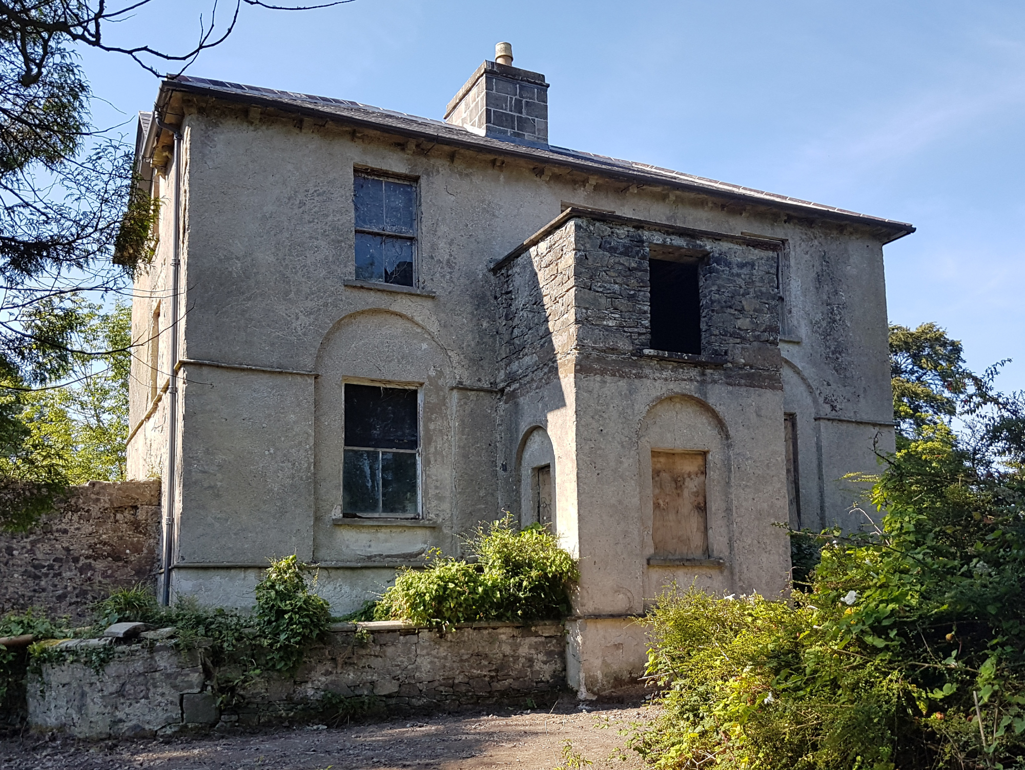
 Bartragh Housecountry house · 342 yd
 Horse IslandIslet · 445 yd
 Barnasock PointHeadland · 1254 yd
 Goose IslandIslet · 1479 yd
 Gortabradawn PointHeadland · 1481 yd
 Ballysakeery CastleCastle, unclassified · 1.0 mi
 IndicatedFairy fort / earthen ringfort · 1.1 mi
 Church in RuinsChurch · 1.1 mi
 Moyne AbbeyHeritage attraction · 1.3 mi
 Enniscrone BeachBeach / strand · 1.3 mi
 Sandland FortFairy fort / earthen ringfort · 1.5 mi
 The Black PigMemorial · 1.6 mi
Other information
Photo: Credit not shown in the picture search · Rights wording not checked; contact us if this picture should be removed