
What is recorded here
Field boundary in Scartnadrinymountain is a field boundary in Scartnadrinymountain, County Waterford, Ireland. Situated on a southwest-facing slope at the western foothills of the Monavullagh Mountains, the relict field bank is two metres wide and stands between 0.2 and 0.8 metres high. It runs east from the outer bank of a rath for about 10 metres until it is cut by a north-south field bank and drain. In the field to the east, the relict bank then turns south in a curving arc that measures 30 metres in its north-south extent.
Situated on a SW-facing slope at the W foothills of the Monavullagh Mountains. A relict field bank (Wth 2m; H 0.2-0.8m) runs E from the outer bank of rath (WA014-007001-) at E (L c. 10m) where it is cut by a N-S field bank and drain, but the relict bank turns S in a curving arc (C 30m N-S) in the field to the E.
Compiled by: Michael Moore
Date of upload: 17 November 2010
The monument record does not grant public access. Check the route and ask the landowner before entering private land.
- What survives
- Recorded monument
Places near here
 Man-made underground passage in ScartnadrinymountainMan-made underground passage · 48 yd
:max_bytes(150000):strip_icc()/WaterfordCityIreland-5b883be846e0fb00256baa81.jpg) IndicatedFairy fort / earthen ringfort · 1049 yd
IndicatedFairy fort / earthen ringfort · 1049 yd Kilbrien National SchoolOfficially recorded historic building · 1071 yd
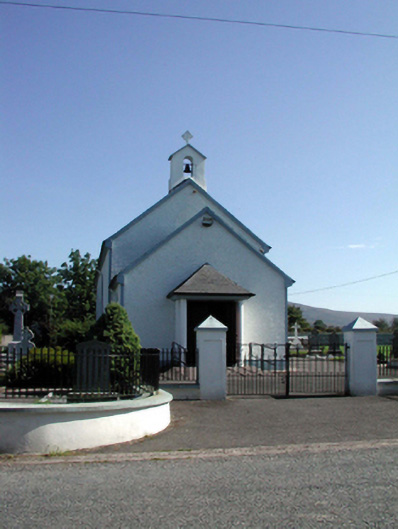 Saint Patrick's Catholic Churchchurch/chapel · 1236 yd
 Standing StoneMemorial · 1.5 mi
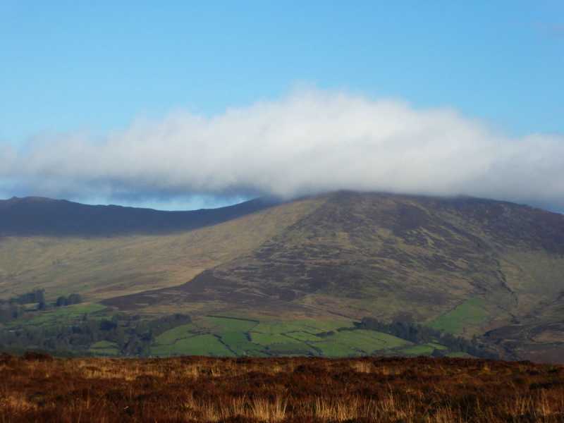 Bleantasour MountainMountain / peak · 2.2 mi
 SeefinMountain / peak · 2.3 mi
 Mahon ValleyCliff · 3.6 mi
 Site of CastleCastle, unclassified · 4.3 mi
 Bawn in BarnankileBawn · 4.8 mi
 Mahon FallsWaterfall · 4.9 mi
 Siglloges LoopWalking route · 5.1 mi
Other information
Photo: Credit not shown in the picture search · Rights wording not checked; contact us if this picture should be removed