
What is recorded here
Half-buried in a two-metre bank above a roaring stream, the D-shaped hut kept its shape through centuries of mountain rain. Its thick walls and dual entrances suggest people sought shelter from wind and water in that narrow strip of rough grazing. The fast flow beside it would have filled the chamber instantly during heavy storms, forcing occupants to leave or drown.
This monument was reported by archaeologist Tony Miller. He describes it as follows: "A D-shaped hut site partially dug into a 2m high bank along its western side. It measures c. 3.3m E-W; c. 4.8m N-S and c. 0.8m H. The walls are c. 1.2m in width. There are two possible entrances, both c. 0.8m W, to the N and S. This hut site is an area of rough mountain grazing and only c. 2m south of a fast flowing stream."
Compiled by: Denis Power
Date of upload: 9 April 2014
The monument record does not grant public access. Check the route and ask the landowner before entering private land.
- What survives
- Recorded monument
Places near here
 Enclosure in RoughamEnclosure · 471 yd
 Ram's HillMountain / peak · 1003 yd
 Glenlough MountainMountain / peak · 1204 yd
 Hut site in Crossterry WestHut site · 1590 yd
 Old Stone CottagesHeritage attraction · 1.2 mi
 DroppaCliff · 2.0 mi
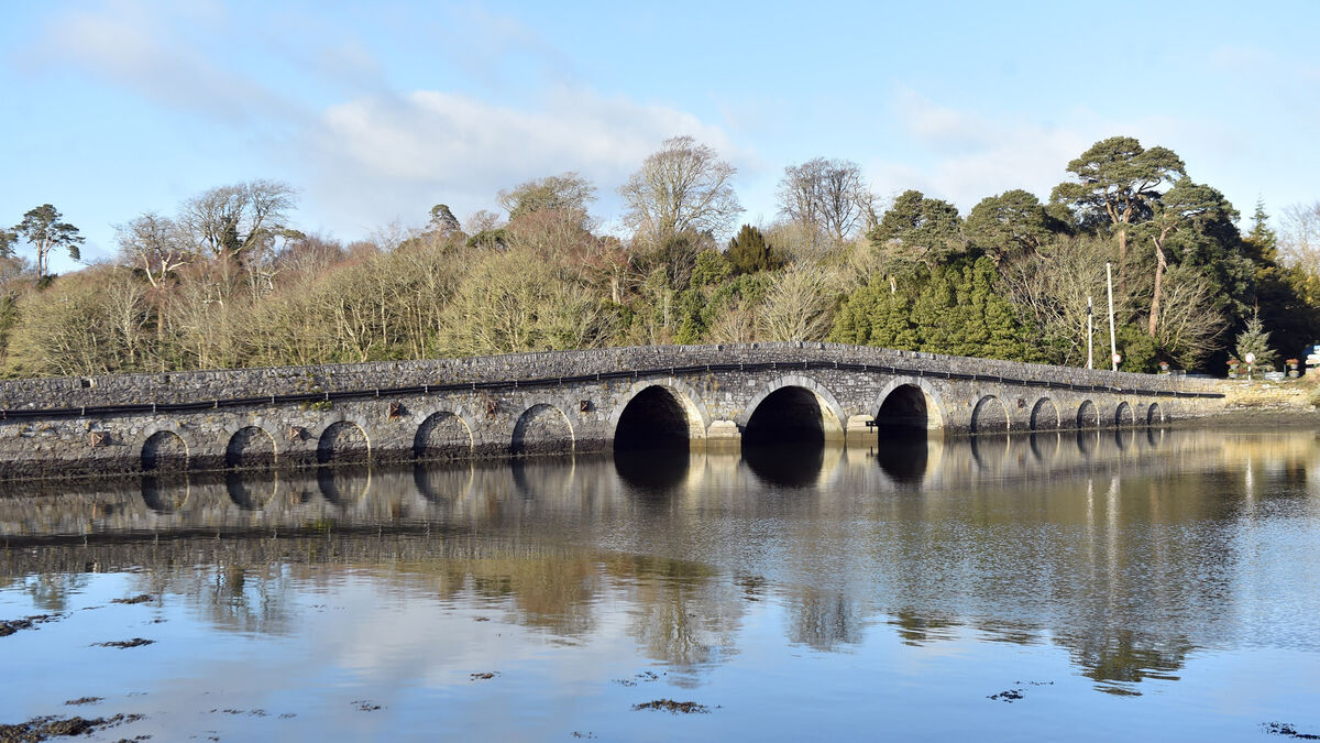 Bridge in Coorannel,derrynafullaBridge · 2.8 mi
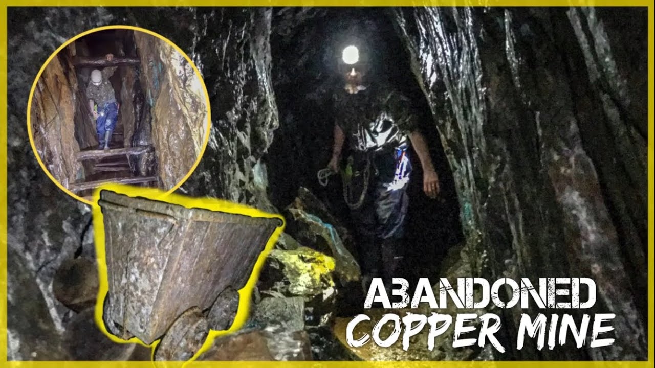 MineMine, copper · 2.9 mi
 Glengarriff WoodsWood · 3.3 mi
 Gleninchaquin WaterfallWaterfall · 3.4 mi
 Gleninchaquin ParkHeritage attraction · 3.6 mi
 Lady Bantry's LookoutViewpoint · 3.8 mi
Other information
Photo: Credit not shown in the picture search · Rights wording not checked; contact us if this picture should be removed