
What is recorded here
This monument was reported by archaeologist Tony Miller who describes it as follows: "This enclosure is sited in an area of rough grazing on a level terrace some 15m above the stream to the south. It is close to the eastern end of the valley near where it drops almost vertically into the broad valley surrounding the Kerry River and Glengarriff forest. It is broadly rectangular in shape with rounded ends and surrounds a low knoll of dry ground. At the centre the ground is effectively higher than the surrounding dry stone walls. There is no sign of an entrance to this enclosure. Some overgrown stones at the south western end might indicate the remains of an internal feature. It measures c. 8m SW-NE; c. 5m SE-NW with walls of a maximum height of c. 0.8m and c. 0.6m wide."
Compiled by: Denis Power
Date of upload: 9 April 2014
A local fairy fort (ringfort/rath); wider significance not recorded.
The monument record does not grant public access. Check the route and ask the landowner before entering private land.
- What survives
- Recorded monument
Places near here
 Hut site in RoughamHut site · 471 yd
 Ram's HillMountain / peak · 1216 yd
 Hut site in Crossterry WestHut site · 1446 yd
 Caha SE TopMountain / peak · 1463 yd
 Old Stone CottagesHeritage attraction · 1.2 mi
 DroppaCliff · 2.1 mi
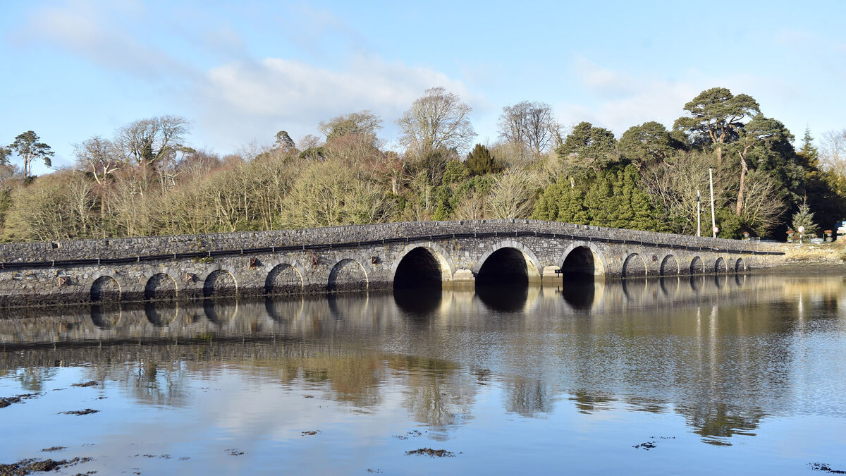 Bridge in Coorannel,derrynafullaBridge · 2.7 mi
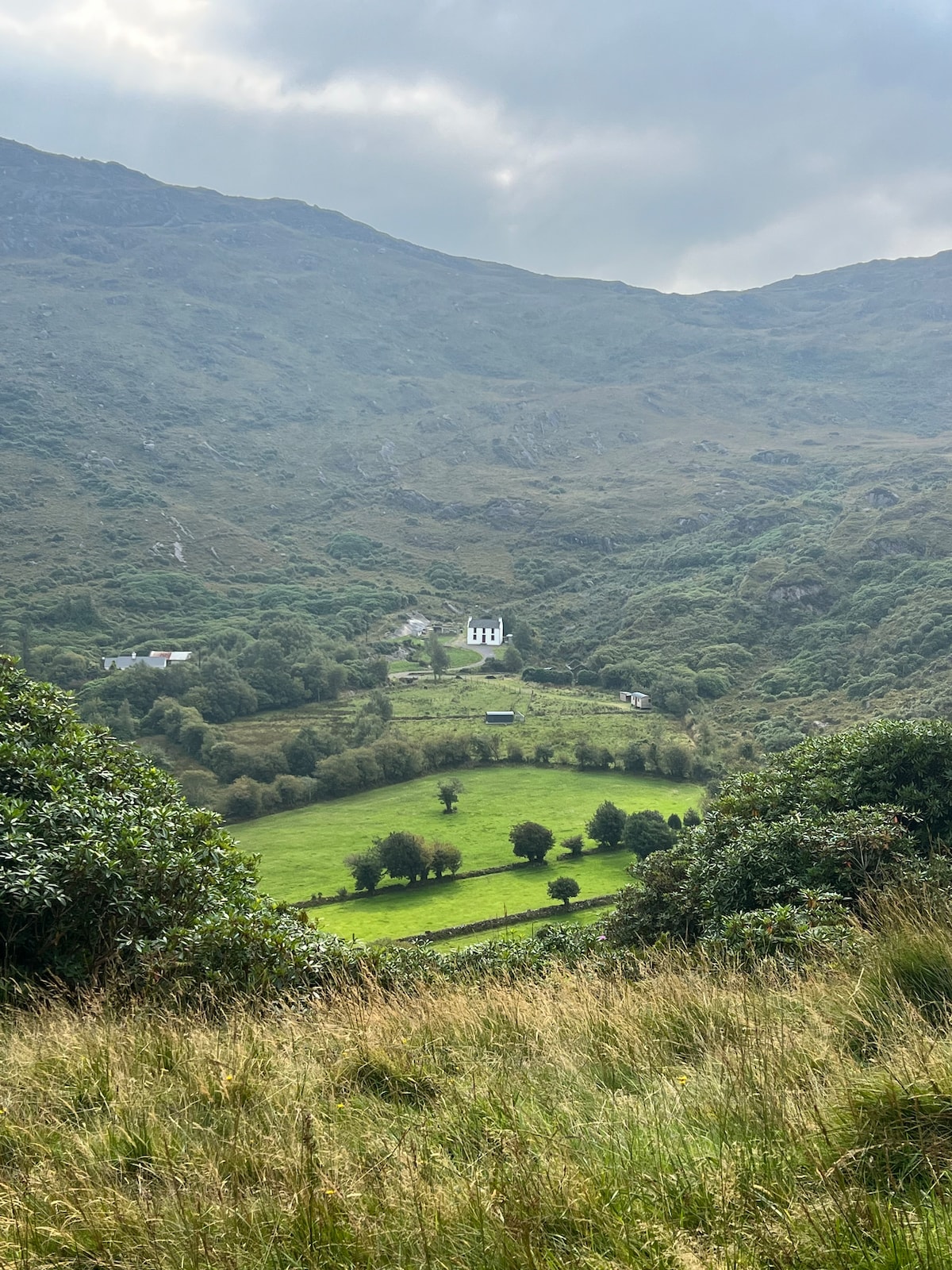 Ahnaclaha BrBridge · 3.1 mi
 Glengarriff WoodsWood · 3.1 mi
 Gleninchaquin WaterfallWaterfall · 3.2 mi
 Gleninchaquin ParkHeritage attraction · 3.4 mi
 Lady Bantry's LookoutViewpoint · 3.6 mi
Other information
Photo: Credit not shown in the picture search · Rights wording not checked; contact us if this picture should be removed