
What is recorded here
No visible walls remain, but the collapsed stones still mark a small living space beside the northern gully wall. It faces northeast toward Glengarriff and the Caha Mountains, as if set for watchfulness rather than privacy. The rocky plateau and boggy ground make the choice seem deliberate: a narrow dry place where a person could face the wide sky and keep the land in view.
A sub-circular hut site within a gully surrounded by a rocky and boggy plateau. It is closer to the northern steep wall of the gully with views to the NE over Glengarriff and the Caha Mountains. It is in a collapsed state with internal measurements of 3m NE-SW and 2.2m SE-NW.
Compiled by: Tony Miller
Date of upload/revision: 13 February 2023
The monument record does not grant public access. Check the route and ask the landowner before entering private land.
- What survives
- Recorded monument
Places near here
 Field boundary in Coomarkane,derreenboy Upper,crossterry WestField boundary · 335 yd
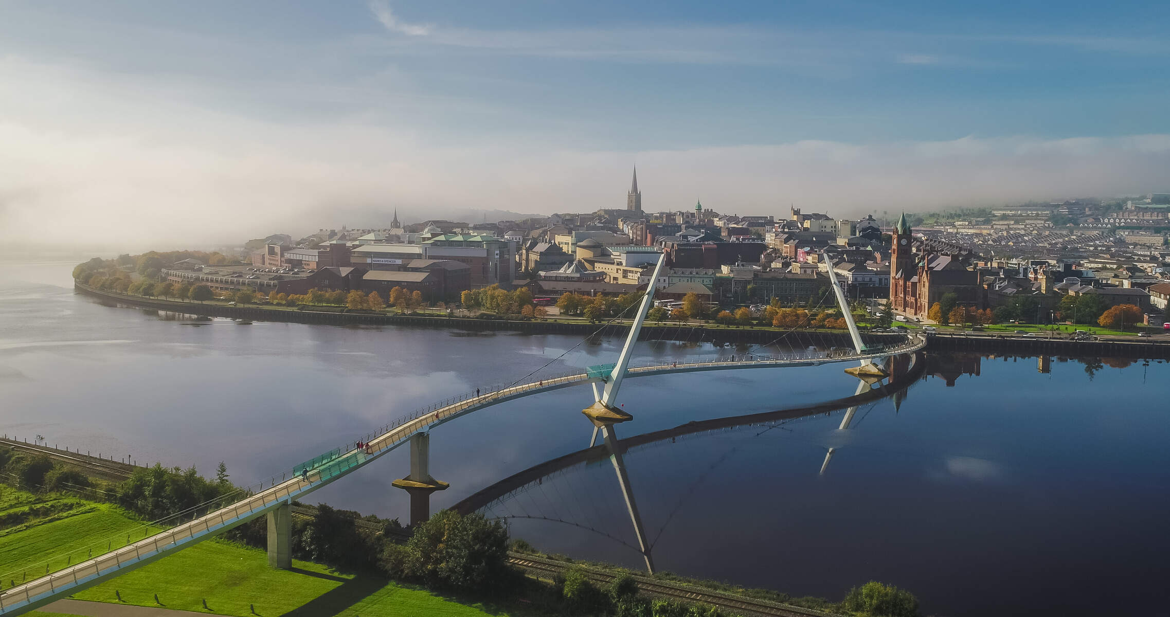 Platform in Derreenboy UpperPlatform · 585 yd
 Old Stone CottagesHeritage attraction · 959 yd
 Glenlough MountainMountain / peak · 1.1 mi
 Derrynafulla SWMountain / peak · 1.3 mi
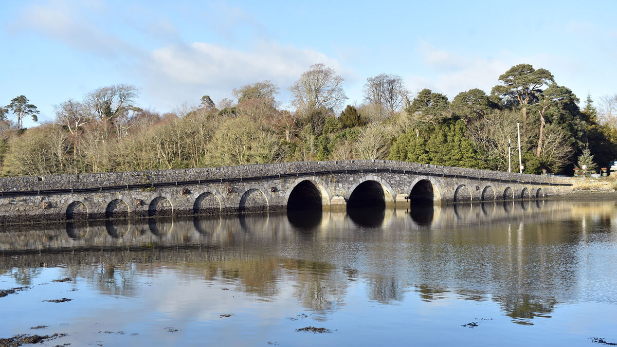 Bridge in Coorannel,derrynafullaBridge · 1.9 mi
 Glengarriff WoodsWood · 2.5 mi
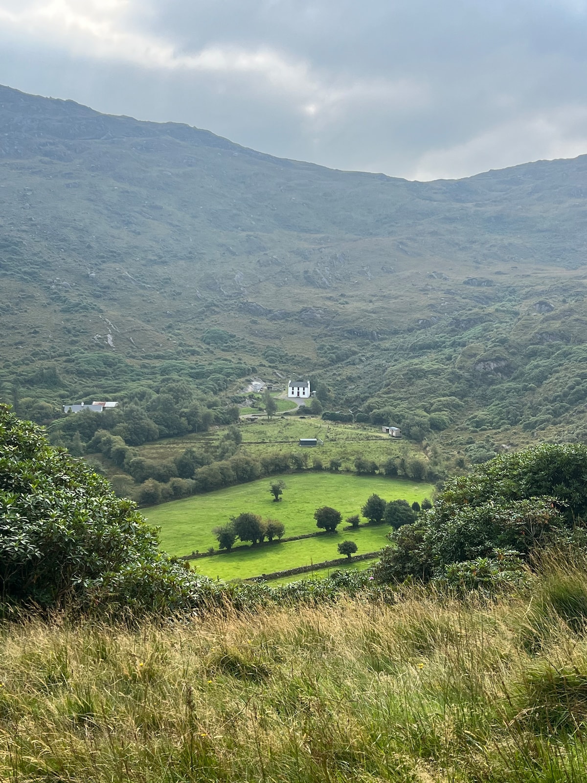 Ahnaclaha BrBridge · 2.7 mi
 DroppaCliff · 2.9 mi
 Lady Bantry's LookoutViewpoint · 2.9 mi
 Graveyard in CappyaughnaGraveyard · 3.4 mi
 The Blue PoolHeritage attraction · 3.6 mi
Other information
Photo: Credit not shown in the picture search · Rights wording not checked; contact us if this picture should be removed