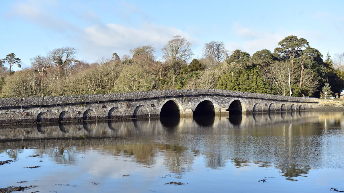
What is recorded here
Remains of disused hump-backed road bridge (Wth 5m) over mountain stream to SW of Shrone Hill. Semicircular arch (Wth 2.45; H 2.6m) with coarsely cut voussoirs. Originally carried the old road from Adrigole to Glengarriff, known locally as "Cromwell's road".
The above description is derived from the published 'Archaeological Inventory of County Cork. Volume 1: West Cork' (Dublin: Stationery Office, 1992). In certain instances the entries have been revised and updated in the light of recent research.
Date of upload/revision: 14 January 2009
The monument record does not grant public access. Check the route and ask the landowner before entering private land.
- What survives
- Recorded monument
Places near here
 Derrynafulla SWMountain / peak · 1252 yd
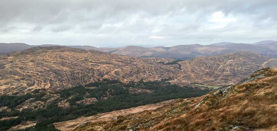 Shrone HillMountain / peak · 1610 yd
 Burial Gd (Disused)Burial ground · 1.2 mi
 Glengarriff WoodsWood · 1.5 mi
 Lady Bantry's LookoutViewpoint · 1.6 mi
 Field boundary in CoomarkaneField boundary · 1.6 mi
 Old Stone CottagesHeritage attraction · 1.7 mi
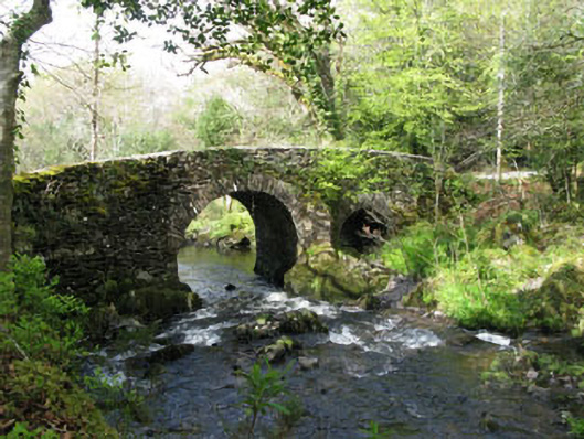 Glengarriff Nature Reservebridge · 1.8 mi
 Cromwells Br or KeamagowerBridge · 1.9 mi
 Graveyard in CappyaughnaGraveyard · 2.0 mi
 Bryce HouseMuseum · 2.1 mi
 GarinishIsland · 2.1 mi
Other information
Photo: Credit not shown in the picture search · Rights wording not checked; contact us if this picture should be removed