
What is recorded here
Remains of hump-backed road bridge (Wth 3.55m) near mouth of Glengarriff river. Single semi-circular arch extending c.8m from S bank of river; coarse voussoirs; pointed breakwaters extend to full height of bridge. Voussoirs of central arch evident. Other features associated with Cromwellin area are Cromwell's Road (CO104-010---) and road crossing bridge(CO104-03---).
The above description is derived from the published 'Archaeological Inventory of County Cork. Volume 1: West Cork' (Dublin: Stationery Office, 1992). In certain instances the entries have been revised and updated in the light of recent research.
Date of upload/revision: 14 January 2009
The monument record does not grant public access. Check the route and ask the landowner before entering private land.
- What survives
- Recorded monument
Places near here
 Graveyard in CappyaughnaGraveyard · 105 yd
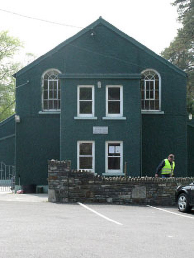 Glengarriff Hallchurch/chapel · 121 yd
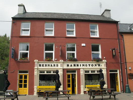 Bernard Harringtonpublic house · 180 yd
 The Blue PoolHeritage attraction · 346 yd
 Friars IslandIslet · 863 yd
 Man-made underground passage in CappyaughnaMan-made underground passage · 886 yd
 Lady Bantry's LookoutViewpoint · 954 yd
 Tasmanian bluegumTasmanian bluegum · 1096 yd
 Calf IslandIslet · 1337 yd
 Man-made underground passage in CarrigrourMan-made underground passage · 1573 yd
 Bryce HouseMuseum · 1574 yd
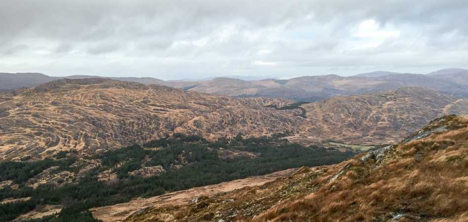 Shrone HillMountain / peak · 1.0 mi
Other information
Photo: Credit not shown in the picture search · Rights wording not checked; contact us if this picture should be removed