What is recorded here
In rough hill pasture, with occasional outcropping rock, on cutaway bog, on a SW-facing slope. Turf-cutting has exposed the remains of a network of relict stone field boundaries (T 0.6m; H 0.5m) in an irregularly shaped area (c. 220m E-W; c. 130m N-S). The relict walls, both linear and curvilinear, protrude intermittently from the remaining shallow bog. Most of the stones are set upright at right angles to the line of the wall. Two hut sites (CO104-021002-, CO104-021004-), a fulacht fia (CO104-021005-) and a possible cupmarked stone (CO104-021001-) are within the network of relict field boundaries. Volume 5' (Dublin: Stationery Office, 2009).
In rough hill pasture, with occasional outcropping rock, on cutaway bog, on a SW-facing slope. Turf-cutting has exposed the remains of a network of relict stone field boundaries (T 0.6m; H 0.5m) in an irregularly shaped area (c. 220m E-W; c. 130m N-S). The relict walls, both linear and curvilinear, protrude intermittently from the remaining shallow bog. Most of the stones are set upright at right angles to the…
From the National Monuments Service (Archaeological Survey of Ireland) record CO104-021003
The monument record does not grant public access. Check the route and ask the landowner before entering private land.
- What survives
- Recorded monument
Places near here
 Derrynafulla swMountain / peak · 1652 yd
 Sugarloaf MountainMountain / peak · 1.6 mi
 Glengarriff WoodsWood · 2.4 mi
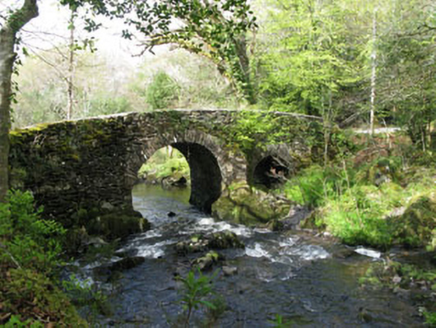 Glengarriff Nature ReserveBridge · 2.8 mi
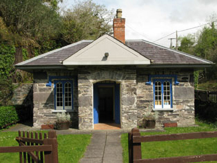 Glengarriff Nature ReserveGate lodge · 2.9 mi
 Garinish WestIslet · 3.5 mi
 GarinishIsland · 3.7 mi
 IlnacullinIsland · 3.7 mi
 Tasmanian bluegum3.9 mi
 Gleninchaquin WaterfallWaterfall · 4.2 mi
 Glengarriff BayBay · 4.5 mi
 Uragh Stone CircleArchaeological place · 5.6 mi
Pictures: Colin Park, Geograph · CC BY-SA 2.0; Peter Craine, Wikimedia Commons · CC BY-SA 2.0; National Inventory of Architectural Heritage; John M, Geograph · CC BY-SA 2.0; Ben Brooksbank, Geograph · CC BY-SA 2.0; Ben Brooksbank, Wikimedia Commons · CC BY-SA 2.0; John Tann from Sydney, Australia, Wikimedia Commons · CC BY 2.0; Nigel Cox, Geograph · CC BY-SA 2.0; Espresso Addict, Wikimedia Commons · CC BY-SA 2.0
More archaeology and monuments in County Cork · All of County Cork
What do you know about this place?