What is recorded here
Thirty metres below the summit of Hungry Hill, a five-metre circle of stone waits beneath the breathing bog. Erosion has stripped the north-west edge, spilling ancient rubble across clay and exposing the hidden kerb that once contained the heap. The south-east quarter still holds its shape, packed with flat slabs and forgotten purpose. The mountain keeps the cairn damp and dark, returning only what the rain touches.
In rough mountain pasture, in a boggy area, 30m to the N of the summit of Hungry Hill. Erosion of the bog cover has exposed the NW portion of a circular cairn (diam. 5m; H 0.9m). The cairn is still partially covered by bog (D c. 0.8m) SE-SSW. Much of the material from the NW half of the cairn has spilled downslope onto the exposed clay surface to the NW, revealing the original kerbing along the W-NE arc of the cairn. The SE half of the cairn survives best and contains a variety of stone slabs.
The above description is derived from 'The Archaeological Inventory of County Cork. Volume 5' (Dublin: Stationery Office, 2009).
Date of upload: 22 December 2009
A Neolithic cairn, dating to the 4th–3rd millennia BCE, likely used as a burial or ritual monument; its partial preservation in a peat bog offers potential for organic remains and insights into early funerary practices in upland landscapes.
The monument record does not grant public access. Check the route and ask the landowner before entering private land.
- What survives
- Recorded monument
Places near here
 Hungry HillMountain / peak · 33 yd
 CairnCairn, unclassified · 208 yd
 Enclosure in Rossmackowen CommonsEnclosure · 1390 yd
 Mare's Tail WaterfallViewpoint · 1713 yd
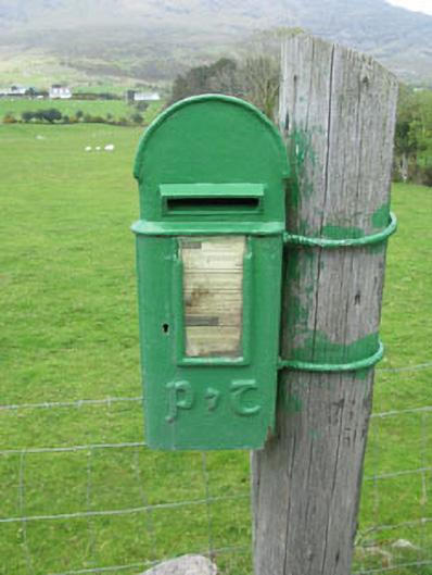 post boxpost box · 1.5 mi
 CoombaneMountain / peak · 1.8 mi
 Loughure IslandIslet · 2.3 mi
 Mass-house in ShanacoumhaMass-house · 2.7 mi
 TrawnablahaBeach / strand · 2.8 mi
 Orthon's IslandIslet · 3.0 mi
 West Cork Sailing & Powerboating CentreHeritage attraction · 3.3 mi
 Rerrin LoopWalking route · 3.4 mi