
What is recorded here
Cairn sits in blanket bog near the east edge of Hungry Hill, a shallow circle of uneven stones proud above the black spongy ground. Its centre has collapsed into a hollow, as if the hill inhaled what the cairn once held. A person may have stood there in rain, dropping a stone or touching a ridge before walking down into the valley. The bog keeps the shape alive by refusing to swallow it whole.
In blanket bog, near the E edge of the relatively flat summit of Hungry Hill. This subcircular cairn (7.5m E-W; 6.4m N-S; max. H 1.2m), which protrudes above the bog, consists of stones that vary in both shape and size. Loose stones to the E of the cairn appear to have been removed from the centre, where there is now a depression. Some large stone slabs were also noted in this area. The stones in the depression are lying in a haphazard state. An Ordnance Survey triangulation pillar is situated c. 170m to the ENE.
The above description is derived from 'The Archaeological Inventory of County Cork. Volume 5' (Dublin: Stationery Office, 2009).
Date of upload: 22 December 2009
The monument record does not grant public access. Check the route and ask the landowner before entering private land.
- What survives
- Recorded monument
Places near here
 Hungry HillMountain / peak · 228 yd
 Mare's Tail WaterfallViewpoint · 1509 yd
 Enclosure in Rossmackowen CommonsEnclosure · 1596 yd
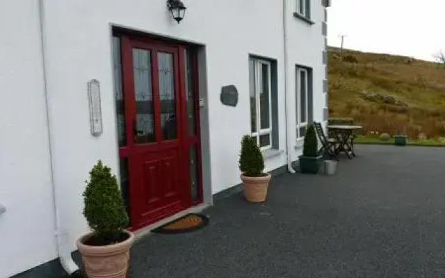 Fulacht fia in Derreen LowerFulacht fia · 1709 yd
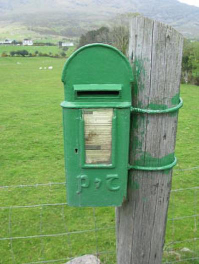 post boxpost box · 1.6 mi
 CoombaneMountain / peak · 1.7 mi
 Loughure IslandIslet · 2.2 mi
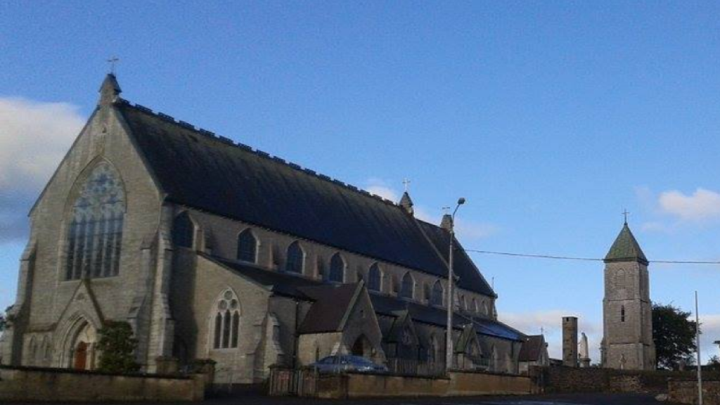 Church in AdrigoleChurch · 2.6 mi
 Orthon's IslandIslet · 2.9 mi
 TrawnablahaBeach / strand · 3.0 mi
 West Cork Sailing & Powerboating CentreHeritage attraction · 3.2 mi
 Hungry Hill GalleryGallery · 3.4 mi
Other information
Photo: Credit not shown in the picture search · Rights wording not checked; contact us if this picture should be removed