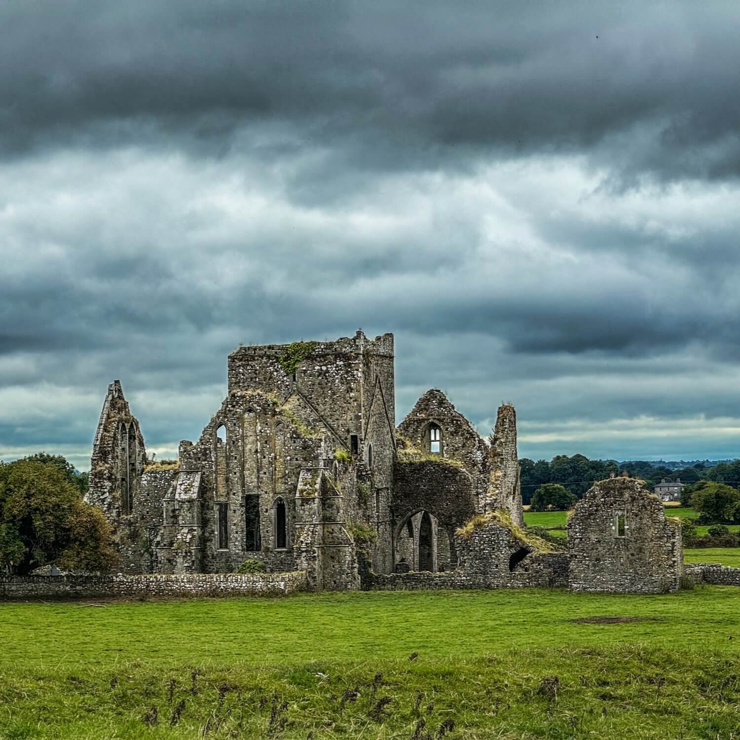
What is recorded here
The fairy fort or earthen ringfort in Rossaguile (Kilnarath parish) is in County Tipperary, Ireland. It occupies high ground in an upland area beside another ringfort to the east. A barely discernible circular area 23 metres wide from north to south is defined by a scarp, with slight evidence of a possible entrance gap at the south. Ploughing probably caused the severe erosion that reduced the site to this faint form.
Situated on high ground in an upland area with a nearby ringfort (TN031-053) to the E. A barely discernible circular area (diam. 23m N-S) defined by a scarp with slight evidence of a possible entrance gap at S. Severely eroded site probably due to ploughing.
The above description is derived from 'The Archaeological Inventory of County Tipperary. Vol. 1 - North Tipperary' compiled by Jean Farrelly and Caimin O'Brien (Dublin: Stationery Office, 2002). In certain instances the entries have been revised and updated in the light of recent research.
Date of upload/revision: 22 September 2008
The monument record does not grant public access. Check the route and ask the landowner before entering private land.
- What survives
- Recorded monument
Places near here
 RoadRoad, road/trackway · 920 yd
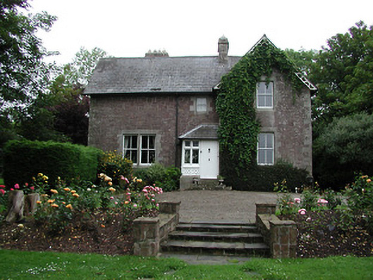 Glebe Houserectory/glebe/vicarage/curate's house · 1197 yd
 CastleCastle, ringwork · 1729 yd
 Cliff-edge fort in NewrossCliff-edge fort · 1.0 mi
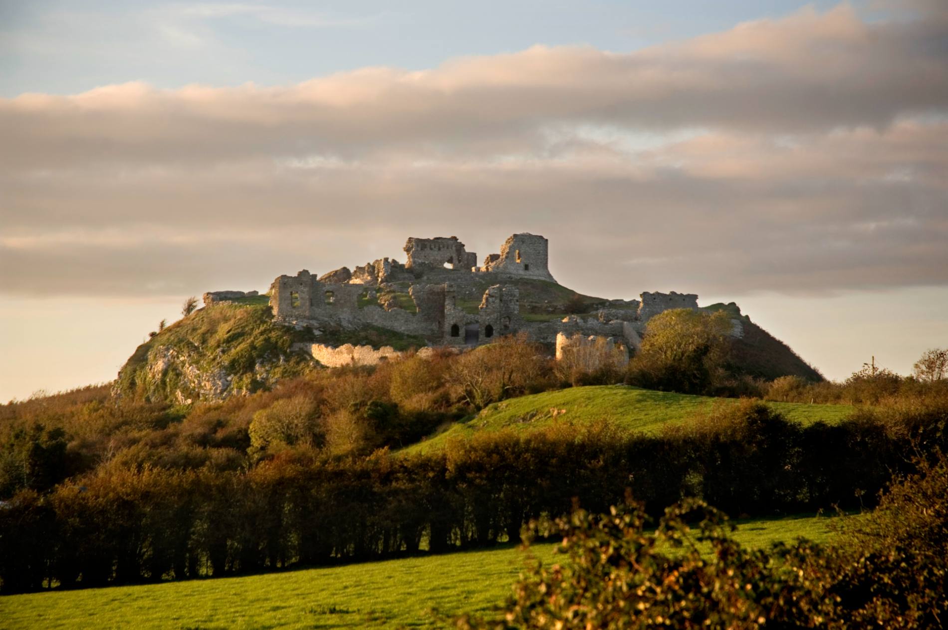 Mass-rock in DoonaneMass-rock · 1.3 mi
 Ballyhourigan WoodsForest · 1.8 mi
 Tower (in Ruins)Bawn · 2.1 mi
 Boolatin TopMountain / peak · 2.3 mi
 Doonan's HillMountain / peak · 3.4 mi
 The Pollagh TrailNature reserve · 4.8 mi
 Silvermines ViewpointViewpoint · 5.6 mi
 The MinerMemorial · 5.7 mi
Other information
Photo: Credit not shown in the picture search · Rights wording not checked; contact us if this picture should be removed