What is recorded here
Fairy fort / earthen ringfort in Rosmore is a fairy fort or earthen ringfort in Rosmore, County Sligo, Ireland. The site sits on a south-facing slope below a ridge summit, though dense blackthorn bushes now block entry. Its southern interior rises to balance the hillslope, and a narrow external fosse remains visible along the northwest arc. Maps from 1838 and 1914 show the embanked area changing from a circular shape about twenty metres across to an oval measuring thirty by twenty metres.
On a S-facing slope, below the summit of a ridge. The rath is inaccessible due to dense overgrowth of blackthorn bushes. The S half of the interior appears to be raised to compensate for the hillslope. A small portion of the external fosse (Wth 2m; D 0.8m) is evident along the NW arc. Indicated as an embanked circular area (diam. c. 20m) on the 1838 OS 6-inch map while it is more oval (c. 30m x 20m) on the 1914 OS 6-inch map.
The above description is derived from the published 'Archaeological Inventory of County Sligo' compiled by Ursula Egan, Elizabeth Byrne, Mary Sleeman with Sheila Ronan and Connie Murphy (Dublin Stationery Office, 2005).
Date of upload: 18 January 2008
The monument record does not grant public access. Check the route and ask the landowner before entering private land.
- What survives
- Recorded monument
Places near here
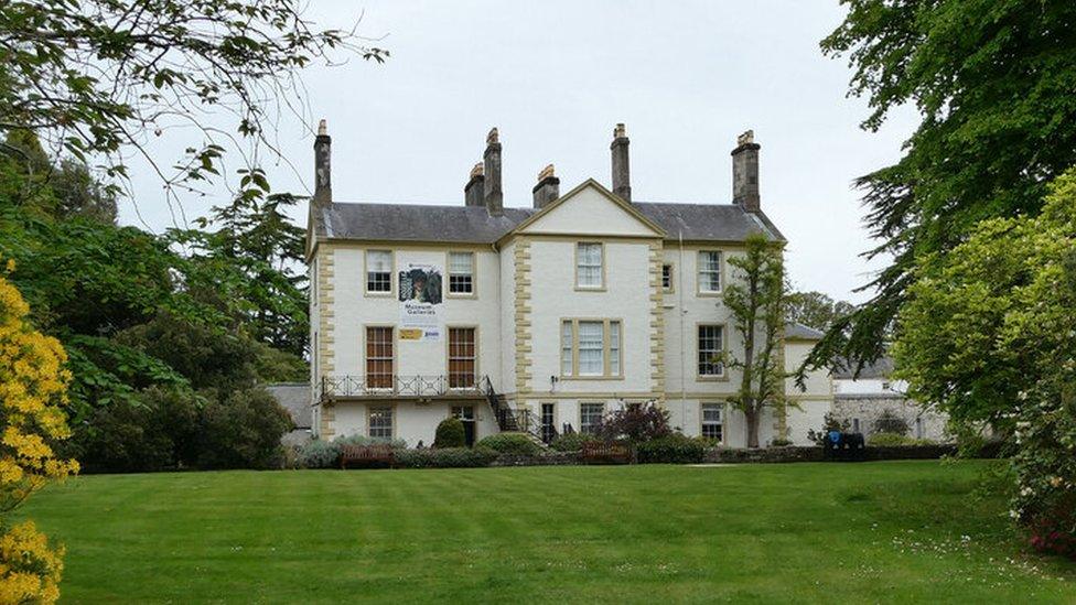 Enclosure in RosmoreEnclosure · 464 yd
 Enclosure in RockbrookEnclosure · 696 yd
 Castle Douglas (Site of)Castle, unclassified · 1694 yd
 Drumcolumb Church (in Ruins)Church · 1759 yd
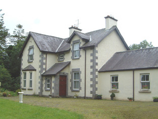 Kingsvillehouse · 1.1 mi
 Coola Castle (in Ruins)Bawn · 1.3 mi
 Riverstown Folk ParkHeritage attraction · 1.4 mi
 James MorrisonMemorial · 3.3 mi
 Giants GraveArchaeological place · 4.2 mi
 Field MapleField Maple · 4.5 mi
 Annaghgowla IslandIslet · 4.5 mi
 InishmoreIslet · 4.9 mi