What is recorded here
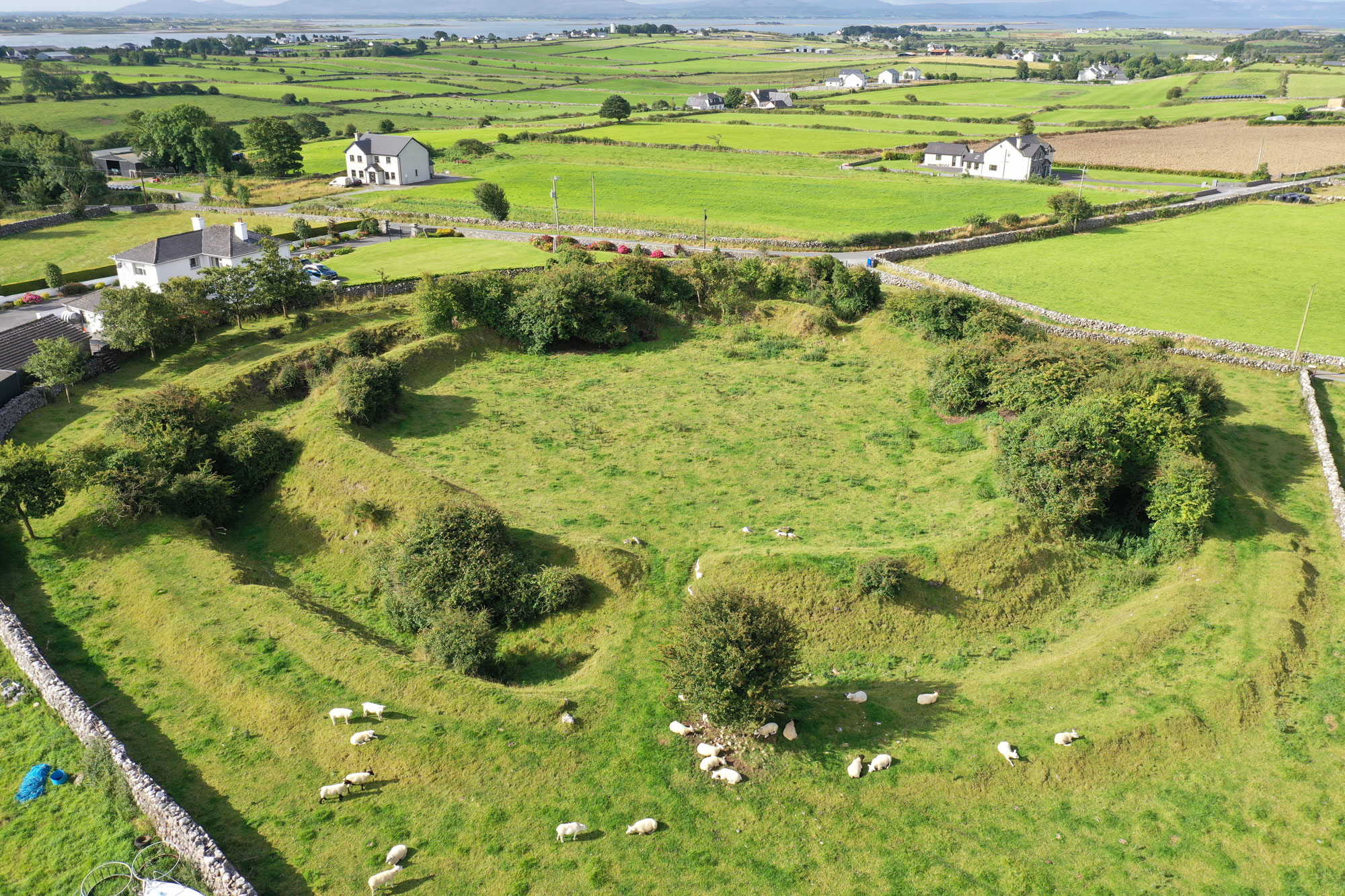
In lowlying pasture , located on level, gently elevated ground bordered to W by the SW flowing Douglas River, and to E−SE by an expanse of lowlying damp, rush-grown ground. There is a low cliff of limestone outcrop to N; Rockbrook House and associated farmyard are located c. 50m to NE. This levelled enclosure,…
Read the whole record
From the National Monuments Service (Archaeological Survey of Ireland) record SL027-179
Places near here
Photo credits
- Maker not stated on source page, www.pinterest.com
- Maker not stated on source page, archaeology.org
- Maker not stated on source page, commons.wikimedia.org
- Maker not stated on source page, www.flickr.com
- Maker not stated on source page, uk.pinterest.com
- Shamrock Gaels GAA Club official website; individual photographer not stated, shamrockgaels.com
- Maker not stated on source page, www.gettyimages.no
- Maker not stated on source page, en.wikipedia.org
- National Inventory of Architectural Heritage
- Gaius Cornelius, Wikimedia Commons
 Fairy fort / earthen ringfort in CarrickcoolaFairy fort / earthen ringfort · 557 yd
Explorer Tom Fairy fort in Carrickcoola has an imaginary fan club that meets every full moon to stare at it intensely. It sits on a…
 Fairy fort / earthen ringfort in Mullaghmore (tirerrill By.)Fairy fort / earthen ringfort · 965 yd
Explorer Tom Over in Mullaghmore, this ringfort has made a New Year's resolution to stop being so round and start being more…
Enclosure in CarrickcoolaEnclosure · 1278 ydExplorer Tom Enclosure in Carrickcoola is perched on a rocky outcrop, probably listening to the wind whisper gossip through its low…
 Ballynakill CemeteryCemetery · 1280 yd
Explorer Tom Ballynakill Cemetery in County Sligo is where the rabbits think they have better taste than the humans who visit…
 Fairy fort / earthen ringfort in Emlagh (tirerrill By.)Fairy fort / earthen ringfort · 1287 yd
Explorer Tom There’s a bird on this fairy fort in Emlagh that refuses to leave, claiming it owns the whole ridge and everyone else…
 Fairy fort / stone ringfort in CarrickcoolaFairy fort / stone ringfort · 1306 yd
Explorer Tom Fairy fort / stone ringfort in Carrickcoola is perched on a rocky outcrop, probably taking very strong opinions from…
 Shamrock Gaels GAA pitchGAA ground · 1730 yd
 Fairy fort / earthen ringfort in Carrowcashel (tirerrill By., Riverstown Ed)Fairy fort / earthen ringfort · 1.1 mi
Explorer Tom Fairy fort / earthen ringfort in Carrowcashel would tell a job interviewer it has excellent retention rates because…
 Holy well in DrumcolumbHoly well · 1.1 mi
Explorer Tom Holy well in Drumcolumb was recorded back in 1836, but now there are no visible remains left for anyone to complain…
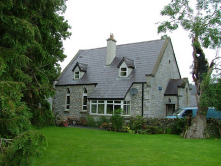 church/chapel1.3 mi
Explorer Tom Church in Ardcumber was built on a bargain that nobody remembers, probably involving a goat and some very good masonry.…
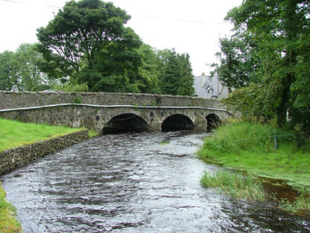 bridge1.3 mi
Explorer Tom Bridge in Ardcumber was built by a man who thought if he made it wide enough, no horse would ever fall off, which was…
 Riverstown Folk ParkVisitor attraction · 1.7 mi
Explorer Tom Riverstown Folk Park, now welcoming visitors as Sligo Folk Park, turns six acres in the village into a small world of…
More archaeology and monuments in County Sligo · All of County Sligo

What do you know about this place?Tap to add a comment or ask a question