What is recorded here
No completed result is available for that request.
Unlocated medieval and seventeenth century settlement in and around the vicinity of the church and graveyard and the village of Rosenallis. Quaker settlement in Rosenallis by 1660 when there were at least 20 Quaker families (Feehan 1983, 399)
Archaeological testing in the village of Rosenallis was carried out by Ellen O'Carroll in 2004 under excavation licence no. 04E0047.
Compiled by: Caimin O'Brien
Date of upload: 17 December 2007
The monument record does not grant public access. Check the route and ask the landowner before entering private land.
- What survives
- Recorded monument
Places near here
 Saint Brigid's Wellholy well · 13 yd
 St. Bridgets WellHoly well · 20 yd
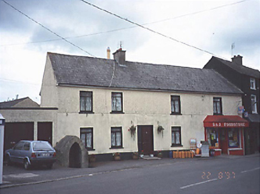 Historic buildingOfficially recorded historic building · 22 yd
 Site of Round TowerRound tower · 147 yd
 CastleCastle, unclassified · 2.5 mi
 Turrets (in Ruins)Bawn · 3.6 mi
 Derryisheen WoodWood · 3.7 mi
 Church (in Ruins), GraveyardChurch · 4.3 mi
 BaunreaghcongMountain / peak · 5.7 mi
 Red HillMountain / peak · 5.9 mi
 Kilmanman church (in Ruins), GraveyardChurch · 6.0 mi
 Derryad WoodForest · 6.7 mi