
What is recorded here
Castle Rosduff is a 17th-century rectangular bawn in County Longford, built of uncoursed rubble and defended by flanking towers. Its southern wall still stands three metres high, hiding a broken window slit behind a thick coat of ivy. A circular tower at the southwest corner holds four gun loops, while a modern farm gate midway along the south wall may mark the original entrance. The place has survived centuries of change, losing walls to houses and concrete but keeping its shape and purpose intact.
This rectangular bawn (int. dims. 31.4m E–W; 25.5m N–S), of 17th century date, is constructed of uncoursed rubble. There is no base-batter. It appears to have been defended by at least two flanking towers. Most of the N wall has been replaced by a 20th-century concrete wall. However, a section (H 3m; L 5.7m; T 0.8m) survives at the NE angle where it projects northwards beyond the line of the wall, suggesting that one of the angle towers was formerly located here. Only the N end of the E wall (H 3m; L 6.5m) and the W half of the S wall (H 3.1m; L 12.5m) survive. A modern farm gate midway along the line of the S wall may mark the original entrance. The surviving part of the S wall is the best preserved section of the bawn. The only architectural feature, the splay of a broken-out window or slit ope (Wth 0.5m), is visible on its internal face. Its external face is covered in ivy making detailed examination impossible. There is a circular angle tower (int. diam. 1.8m; H 2m; T 0.8m) on the SW angle. It is one storey high and four gun loops (int. Wth 0.4m; H 0.35m) are visible. No trace of the W wall survives as a 19th-century house and associated outbuildings were built along its line. A shed has been built in the NE angle of the interior. An old roadway or avenue leads up to the bawn as depicted on the 1836 ed. OS 6-inch map. It may be the original roadway into the bawn.
Compiled by: Caimin O'Brien
Date of upload: 19 June 2012
The monument record does not grant public access. Check the route and ask the landowner before entering private land.
- What survives
- Recorded monument
Places near here
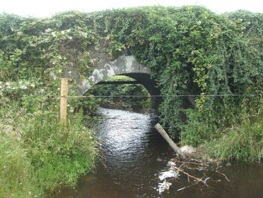 bridgebridge · 69 yd
 Burnt spread in EnaghanBurnt spread · 1.0 mi
 White IslandIslet · 1.3 mi
 Lisraherty Bog WoodlandWood · 1.4 mi
 Portal tomb in BirrinaghPortal tomb · 1.4 mi
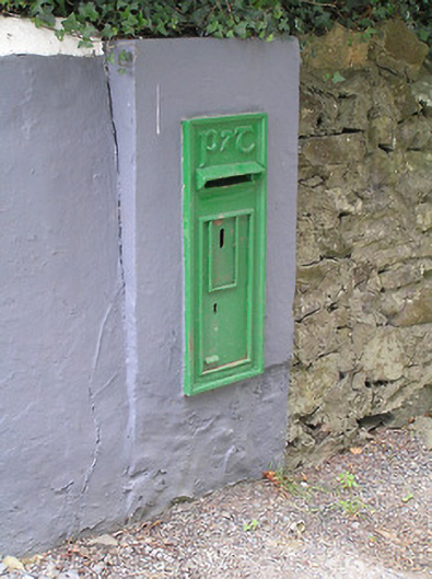 post boxpost box · 1.5 mi
 Arnaghan NorthMountain / peak · 1.5 mi
 Arnaghan SouthMountain / peak · 1.9 mi
 Cloone Ho.Castle, unclassified · 2.4 mi
 Mulrick WoodlandForest · 2.5 mi
 Scrabby IslandIslet · 2.6 mi
 Bawn in CastlepolesBawn · 3.0 mi
Other information
Photo: Credit not shown in the picture search · Rights wording not checked; contact us if this picture should be removed