What is recorded here
Turrock Fort is an archaeological place in County Roscommon, Ireland. The 1837 Ordnance Survey map recorded a circular embanked enclosure roughly fifty metres wide, while the 1915 edition named it Turrock Fort using ornate script reserved for ancient monuments. The subcircular earthwork now measures about 42.5 metres by 37.8 metres, with a one-metre-high bank and double wall facing traces on opposite sides. Ringforts served as early medieval farmstead enclosures for households and livestock, though later field walls and agricultural reuse have softened the original shape.
Turrock Fort is recorded as a archaeological place in County Roscommon. Its open map record supplies this location and any linked names or public references.
Places near here
 Turrock FortFairy fort / earthen ringfort · 1 yd
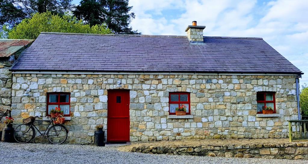 Enclosure in TurrockEnclosure · 560 yd
 Inchnaveague IslandIslet · 1406 yd
 InchnagowerIslet · 1.1 mi
 CastleCastle, unclassified · 1.4 mi
 Church in Cloghan,curraghadoonChurch · 2.1 mi
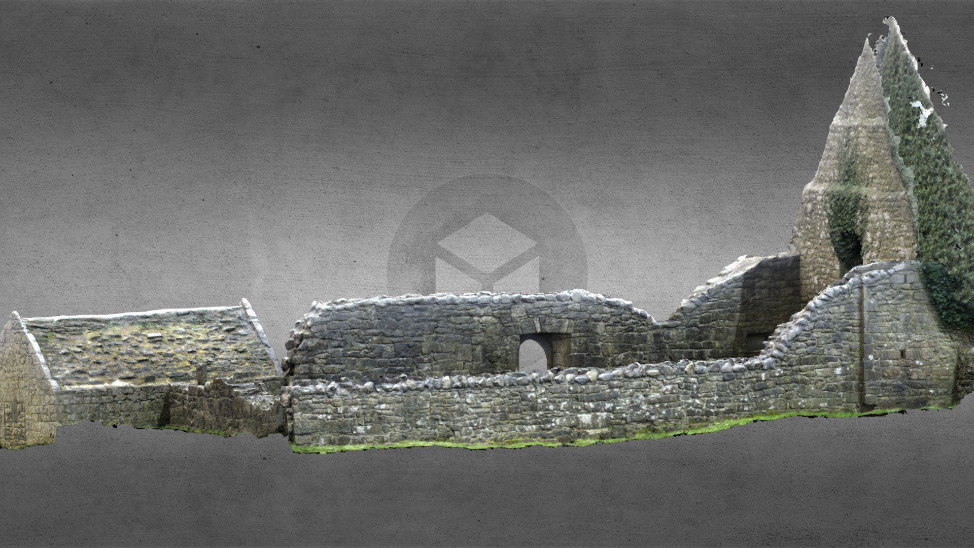 Church (in Ruins)Church · 2.2 mi
 Castle (Site of)Castle, unclassified · 3.3 mi
 European Crab AppleEuropean Crab Apple · 5.3 mi
 Aughrane WoodsForest · 6.6 mi
 Mount MaryMountain / peak · 9.7 mi
 Kilconnell AbbeyHeritage attraction · 14 mi