
What is recorded here
Yes. Oak and stone still hold the shape of human hands, even when the name and date have leaked away like water through sand. The chamber may have stored grain, hidden people or simply measured darkness against the living world. In that age before written borders, a room beneath the soil was a claim made with muscles and patience.
The following description is derived from both the published 'Archaeological Inventory of County Louth' (Dublin: Stationery Office, 1986) and the 'Archaeological Survey of County Louth' (Dublin: Stationery Office, 1991). In certain instances the entries have been revised and updated in the light of recent research.
Date of upload/revision: 17 July 2007
Marked as 'fort' on 1835 ed. of OS 6-inch map. Oval enclosure bounded by the possible remains of an ancient scarp from SW-W-NW. Fragments of bone and sea shells were visible in scarp on SW. Man-made underground passage (LH008-030002-) in interior.
The monument record does not grant public access. Check the route and ask the landowner before entering private land.
- What survives
- Recorded monument
Places near here
 Rockmarshall Court TombArchaeological place · 729 yd
 Holy well in Bellurgan (dundalk Lwr By; Ballyboys Par.)Holy well · 892 yd
 Annaloughan MountainMountain / peak · 1221 yd
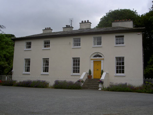 The Old Rectoryrectory/glebe/vicarage/curate's house · 1226 yd
 SlievenagloghMountain / peak · 1.2 mi
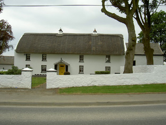 Rampark Farmhousehouse · 1.4 mi
 Soldiers' PointHeadland · 2.2 mi
 CastleCastle, tower house · 2.6 mi
 Proleek DolmenArchaeological place · 2.8 mi
 The BushPicnic place · 4.1 mi
 Louth County MuseumMuseum · 4.2 mi
 Battle of FaughartMajor battlefield · 4.3 mi
Other information
Photo: Credit not shown in the picture search · Rights wording not checked; contact us if this picture should be removed