What is recorded here
This togher (L 17m min.; Wth 1.5m; D 0.1m), noted in 1987, was orientated E-W and consisted of longitudinal roundwood (av. diam. 0.08m), large twigs (diam. 0.18-0.25m) and pegs (av. diam. 0.07m; L 0.2-0.55m). There was limited evidence for woodworking. Radiocarbon dated to 1410-1131 BC (3045±40 BP, GrN-15488) and 916-801 BC (2700±35 BP, GrN-16561) (Raftery 1996, Derryoghil 4, 122-4).
Compiled by: Mary Tunney based on data supplied by the former Irish Archaeological Wetland Unit, University College, Dublin.
Date of upload: 26 August 2011
The monument record does not grant public access. Check the route and ask the landowner before entering private land.
- What survives
- Recorded monument
Places near here
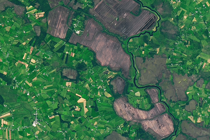 StructureStructure, peatland · 112 yd
 PlatformPlatform, peatland · 166 yd
 RoadRoad, class 1 togher · 172 yd
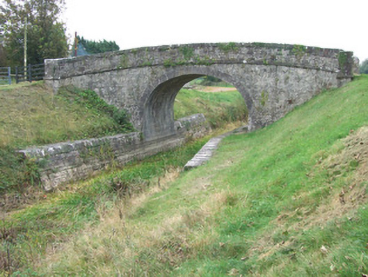 Ards Bridgebridge · 1088 yd
 Bawn in BallyknockBawn · 1.3 mi
 CastleCastle, unclassified · 1.8 mi
 Corlea Bog Walk Blue LoopWalking route · 2.0 mi
 Graveyard in Curry (ardagh By., Coolamber Ed)Graveyard · 3.4 mi
 White Sand WoodWood · 5.5 mi
 Wild birdsVisitor information · 5.7 mi
 Commons North WalkVisitor information · 5.7 mi
 Ballyclare IslandIslet · 6.1 mi