
What is recorded here
A togher (L 650m; Wth 2.5m; D 0.4m), orientated NE-SW, composed of a superstructure of transverse planks and split stems. The planks had morticed ends but usually no pegs. The substructure was of longitudinal logs, brushwood and reused or discarded planks, some of which were morticed. Dendrochronologically dated to 938±9 BC (Q7465). During the survey only one definite sighting survived. When inspected in 1999 (Dunne) one of the planks was found to measure 1.42m by 0.28, while one of the roundwoods measured 2.45m by 0.18m. (Raftery 1990, 22-5, 37; 1996, Derryoghil 1, 107-15)
Compiled by: Mary Tunney based on data supplied by the former Irish Archaeological Wetland Unit, University College, Dublin, and the Archaeological Development Services.
Date of upload: 26 August 2011
The monument record does not grant public access. Check the route and ask the landowner before entering private land.
- What survives
- Recorded monument
Places near here
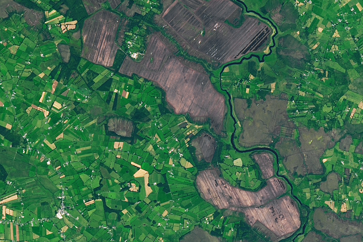 StructureStructure, peatland · 85 yd
 PlatformPlatform, peatland · 289 yd
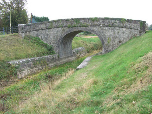 Ards Bridgebridge · 946 yd
 42nd Locklock keeper's house · 1137 yd
 Bawn in BallyknockBawn · 1.2 mi
 CastleCastle, unclassified · 1.7 mi
 Corlea Bog Walk Blue LoopWalking route · 1.9 mi
 Graveyard in Curry (ardagh By., Coolamber Ed)Graveyard · 3.4 mi
 White Sand WoodWood · 5.6 mi
 Wild birdsVisitor information · 5.8 mi
 Commons North WalkVisitor information · 5.8 mi
 Ballyclare IslandIslet · 6.2 mi
Other information
Photo: Credit not shown in the picture search · Rights wording not checked; contact us if this picture should be removed