
What is recorded here
The site (L 20.7m min.; Wth 3.4m min.; D 0.1m min.) consists of the substructure of a severely damaged togher of brushwood, roundwoods and pegs on the field surface. Where recorded at the N end, the remains consist of broken, transverse light roundwoods. These overlie dense brushwood (diam. 0.015-0.054m), broken to short fragmentary lengths (L 0.353m max.). There were at least seventeen pegs (L 0.38-0.47m; diam. 0.025-0.045m) present across the width of the site with a higher concentration on the W side. Most of the pegs are set at c. 45° angles with a slight indication of pairing on either side of the site. The uppermost wood is in moderate condition and a number of metal-cut worked ends were noted. At the S end, the site is of similar dimensions but only survives as fragmentary and disturbed brushwood. It is set in moderately humified Sphagnum peat with Eriophorum and ericaceous remains.
Compiled by: Irish Archaeological Wetland Unit (University College Dublin).
Date of upload: 23 May 2011
The monument record does not grant public access. Check the route and ask the landowner before entering private land.
- What survives
- Recorded monument
Places near here
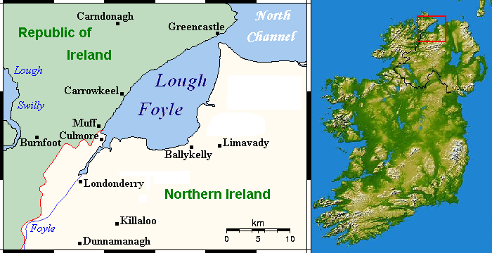 StructureStructure, peatland · 86 yd
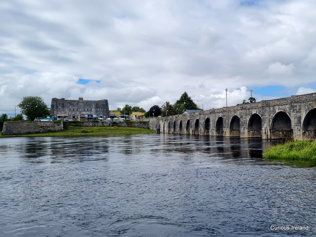 PlatformPlatform, peatland · 125 yd
 RoadRoad, class 1 togher · 348 yd
 Mountlucas Wind Farm Visitors CentreVisitor information · 1.7 mi
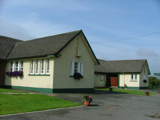 Saint Joseph's National Schoolschool · 1.9 mi
 Fort Castle (in Ruins)Bawn · 1.9 mi
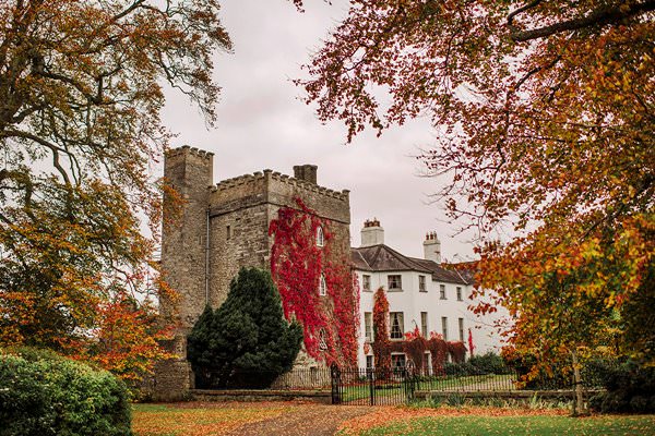 Castle Barnagh (Site of)Bawn · 2.2 mi
 The Lord's WellSpring · 3.5 mi
 Father BurbageMemorial · 3.6 mi
 Geashill Glebe WalkVisitor information · 3.7 mi
 Allen family memorial headstoneMemorial · 3.8 mi
 Furzehill WoodWood · 4.2 mi
Other information
Photo: Credit not shown in the picture search · Rights wording not checked; contact us if this picture should be removed