
What is recorded here
The site (L 670m min.) was reported by Mr J. Kilmurray (BnM Bog Supervisor Mountlucas and Clonad Bogs). It was orientated approximately N-S and consisted of transverse planks, which were morticed in some cases. It extended S into Ballynakill townland and may have formed part of SMR OF018-123----.
Compiled by: Irish Archaeological Wetland Unit (University College Dublin).
Date of upload: 23 May 2011
The monument record does not grant public access. Check the route and ask the landowner before entering private land.
- What survives
- Recorded monument
Places near here
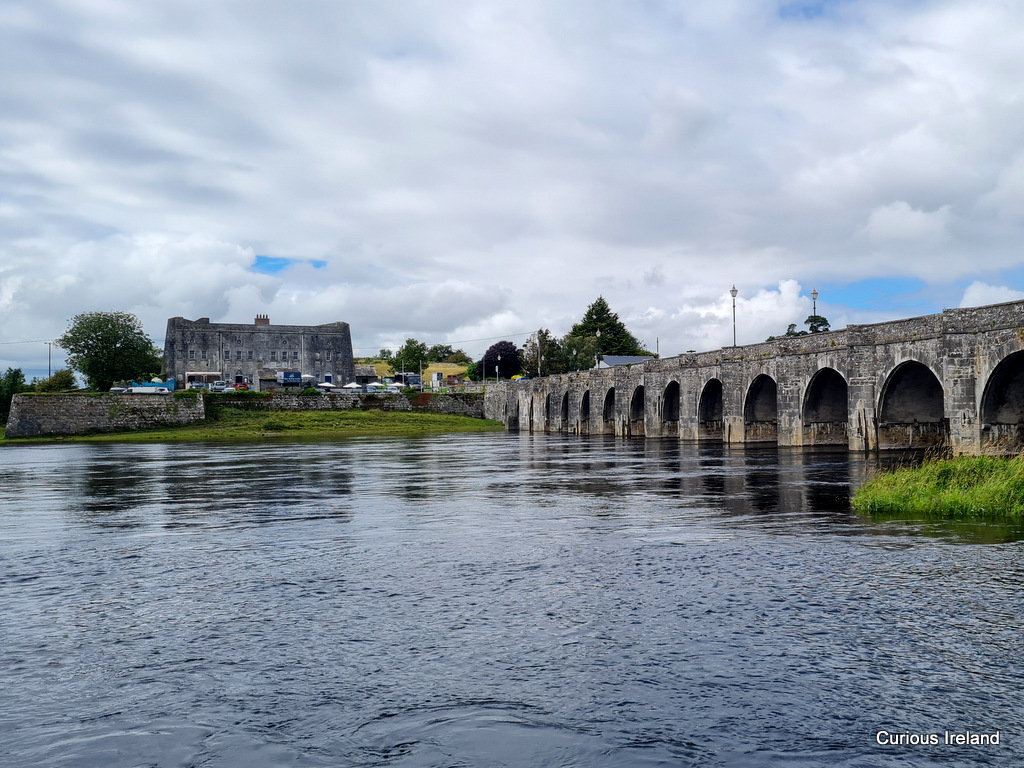 PlatformPlatform, peatland · 279 yd
 StructureStructure, peatland · 313 yd
 Mountlucas Wind Farm Visitors CentreVisitor information · 1.9 mi
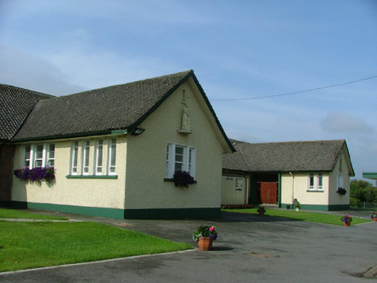 Saint Joseph's National Schoolschool · 1.9 mi
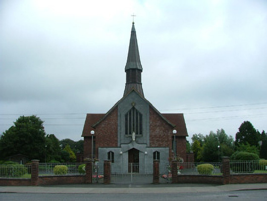 Catholic Church of Mary Mother of Godchurch/chapel · 1.9 mi
 Fort Castle (in Ruins)Bawn · 1.9 mi
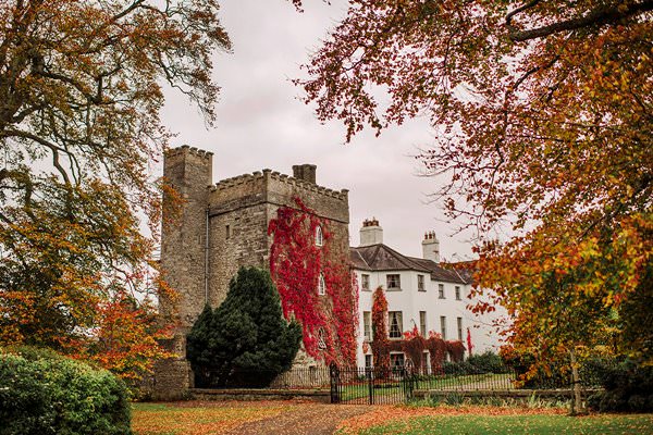 Castle Barnagh (Site of)Bawn · 2.3 mi
 The Lord's WellSpring · 3.4 mi
 Father BurbageMemorial · 3.4 mi
 Geashill Glebe WalkVisitor information · 3.5 mi
 Allen family memorial headstoneMemorial · 3.9 mi
 Furzehill WoodWood · 4.0 mi
Other information
Photo: Credit not shown in the picture search · Rights wording not checked; contact us if this picture should be removed