
What is recorded here
This togher (L 465m; Wth 1.07m) was visible at 31 sightings in a drain face and on the bog surface in the SE portion of Edera Bog. It was orientated NE-SW and lay c. 200m to the S of and parallel to a trackway (LF026-033---) and a togher (LF026-034----). It was composed of densely laid roundwood and brushwood longitudinals underlain by transversely laid roundwood and brushwood. A small number of possible pegs were also recorded. Radiocarbon dating revealed a date range of AD 610-670. Another togher (LF026-036----), on the same orientation, ran across and above it, indicating that it was later in date. (Rohan 2009, 119-24, LF-EDR003-)
Compiled by: Mary Tunney based on data supplied by Jane Whitaker, Archaeological Development Services.
Date of upload: 26 August 2011
The monument record does not grant public access. Check the route and ask the landowner before entering private land.
- What survives
- Recorded monument
Places near here
 RoadRoad, gravel/stone trackway, peatland · 314 yd
 CastleCastle, unclassified · 1687 yd
 OutlinedCastle, unclassified · 1.3 mi
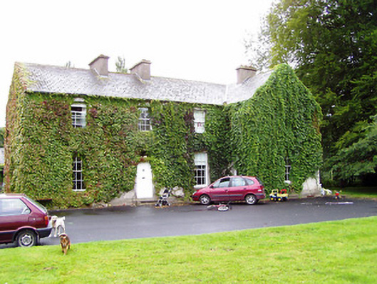 Shrule Gleberectory/glebe/vicarage/curate's house · 1.4 mi
 Crannog in DoonisCrannog · 1.8 mi
 IndicatedFairy fort / earthen ringfort · 1.9 mi
 Leveret IslandIslet · 2.8 mi
 Corlea Bog Walk Canal BranchWalking route · 3.5 mi
 Corlea Trackway Interpretative CentreHeritage attraction · 3.6 mi
 InchbofinIslet · 3.8 mi
 Corlea Bog Walk Blue LoopWalking route · 3.9 mi
 Pollagh BayBay · 4.8 mi
Other information
Photo: Credit not shown in the picture search · Rights wording not checked; contact us if this picture should be removed