What is recorded here
None of the usual rules apply here. Riddlestown is not a place you find, judge or explain. It is a living toy chest where memory, fantasy and affection collide. You are not a visitor. You are a character in its story. The chamber is already inside you. It is waiting for you to stop resisting and start playing.
In pasture, on SSE-facing slope. Circular area (23.2m N-S; 25.7m E-W) enclosed by earth-and-stone bank (int. H 1.5m; ext. H 1.75m) except ESE->S where it has been denuded by cattle accessing interior (int. H 0.2m; ext. H 0.7m). Field boundary runs along base of outside face of bank SE->NW; formerly this boundary continued at either end away from enclosure but these sections now removed. Recent dump-construction earth-and-stone bank running along outside base of enclosing bank NW->ENE, probably derives from these boundaries. Level interior, covered by mature deciduous trees, has dump of stones in S quadrant which also probably derives from removed boundaries.
Compiled by: Denis Power
Date of upload: 26 August 2011
The monument record does not grant public access. Check the route and ask the landowner before entering private land.
- What survives
- Recorded monument
Places near here
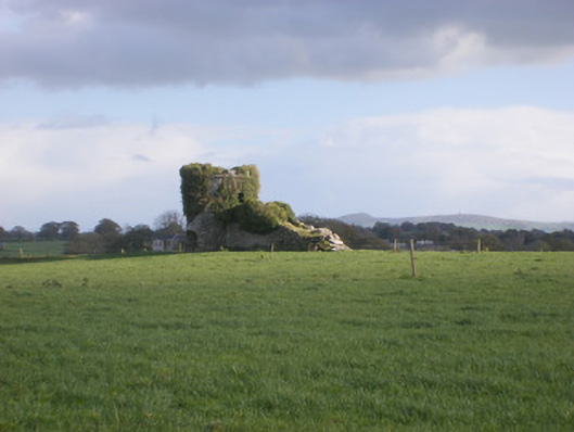 kilnkiln · 849 yd
 Field system in CloghanaroldField system · 875 yd
 TobernawathaHoly well · 905 yd
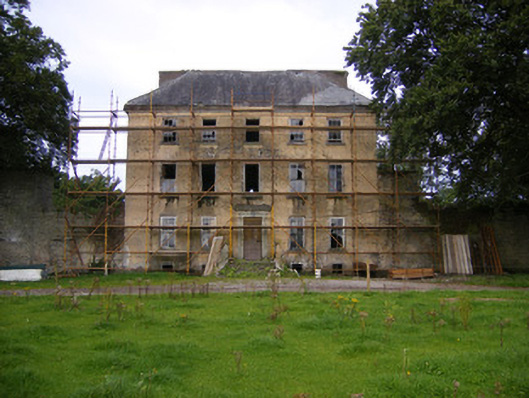 Riddlestown Parkcountry house · 1274 yd
 Bawn in Lisnacullia (connello Lower By.)Bawn · 1313 yd
 TobernablahySpring · 1432 yd
 Castle MatrixCastle, tower house · 1.3 mi
 St. Kieran's WellSpring · 1.4 mi
 European ashEuropean ash · 3.2 mi
 Flat cemetery in CroaghFlat cemetery · 4.3 mi
 Askeaton CastleHeritage attraction · 4.9 mi
 Little HeavenHeritage attraction · 6.3 mi