What is recorded here
Situated on a slight NE-SW rise between the W shore of Lady’s Island Lough and a small inlet of the lake at W. The cropmark of a circular enclosure defined by a single faint ditch feature is visible on aerial photographs (MM (44) 19-21). Drains from the field system (WX053-086001-) are attached to the perimeter. Rath (WX053-086003-) is c. 140m to the N.
Compiled by: Michael Moore
Date of upload; 25 March, 2014
The monument record does not grant public access. Check the route and ask the landowner before entering private land.
- What survives
- Recorded monument
Places near here
 Not idnicatedField system · 70 yd
 CastleHouse, fortified house · 1219 yd
 InishIsland · 1384 yd
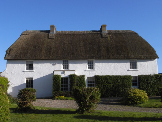 farm housefarm house · 1412 yd
 Wind MillWindmill · 1418 yd
 The Chour / The Hill of the ChourMountain / peak · 1732 yd
 The RingRuins · 1.0 mi
 ScargeenIsland · 1.3 mi
 TowerBawn · 1.4 mi
 The CaamstoneNamed rock · 1.4 mi
 Lady's IslandVisitor information · 1.5 mi
 The Caravan RockNamed rock · 2.1 mi