What is recorded here
Fairy fort / earthen ringfort in Redmondstown is a fairy fort or earthen ringfort in Redmondstown, County Westmeath, Ireland. A 1971 description recorded it as a circular-shaped area enclosed by a low wide earth and stone bank, which was almost reduced to a scarp from east through southeast to south. The account noted there was no definite trace of an external fosse, and the original entrance was not recognisable.
Situated in a wet hollow, in rough, poorly drained pasture, with restricted views of the surrounding landscape. Ringfort (WM025-081----) lies c. 100m to S. Monument described in 1971 as a circular-shaped area enclosed by a low wide earth and stone bank that is almost reduced to a scarp from E-SE-S. There are slight remains of internal stone facing at NNW. A modern earthen field fence running NE-SW lies to the immediate SE and there is a waterlogged drain between it and the ringfort bank. There is no definite trace of an external fosse and the original entrance is not recognisable. The interior is waterlogged and has no obvious traces of any features. Unusual wetland location may suggest that this was the site of a crannóg or wetland habitation site rather than that of a ringfort.
See attached profile of monument surveyed and drawn by the ASI.
Compiled by Alison McQueen, Vera Rahilly and Caimin O’Brien.
Date of upload: 12 September 2019
The monument record does not grant public access. Check the route and ask the landowner before entering private land.
- What survives
- Recorded monument
Places near here
 Dotted outlineFairy fort / earthen ringfort · 393 yd
 Dotted outlinedFairy fort / earthen ringfort · 592 yd
 CastleCastle, unclassified · 770 yd
 Taghboyne Church in ruinsChurch · 906 yd
 Redmondstowndemesne walls/gates/railings · 1076 yd
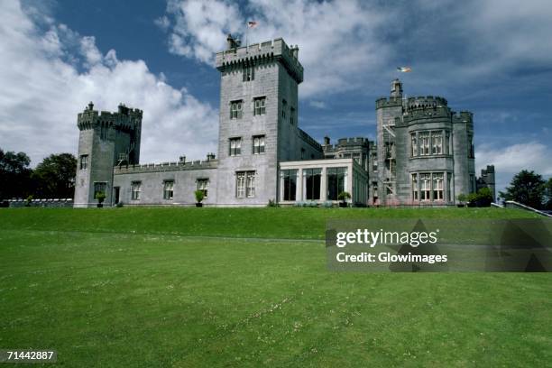 Glomerstown CastleCastle, unclassified · 1715 yd
 Ancient Ring FortWood · 1.9 mi
 Hill of UisneachMountain / peak · 2.1 mi
 European ashEuropean ash · 2.8 mi
 KnockastiaMountain / peak · 5.2 mi
 Bonfire HillMountain / peak · 8.7 mi
 Abbeyshrule AbbeyRuins · 9.3 mi