What is recorded here
Knockroe hill in County Limerick still carries the ghost of a stone fort, though men took every large rock they could carry. The circle vanished so completely that an 1840 survey could not measure it, yet aerial photographs now reveal its dotted outline across the grass. What remains is not a ruin but a suggestion, a hill marked by absence and memory.
Recorded in 1840 as following; 'on the summit of a hill called by the natives Knockroe, are slight traces of the circle of a Caher or circular stone fort; but all the large stones were carried away and the circle itself is so indistinct that I could not ascertain its diameter or thickness of the wall' (OSL, Cahercorney Parish). Caher or stone fort described in the Ordnance Survey name Books as a 'circular stone fort, about 120 links [24m] in diameter. The breadth of the wall seem to have been 10 links [2m]. All the large stones were taken away, and nothing remains but the foundation of the wall' (OSNB, Cahercorney Parish).
Stone fort described in 1943 as following; 'This was a circular stone fort surrounded by a fosse. The entrance seems to have been on the east side where there is a causeway across the fosse. The latter is mainly rock-cut. The rampart is very collapsed and none of its facing stones remain in position. Its overall diameter is 150' [46m]. It is the centre of an extensive system of ancient field fences which run in many directions over the hill' (O'Kelly 1942-3, 183). The outline of the monument is visible today on Digital Globe aerial photographs.
Compiled by: Caimin O'Brien
Date of upload: 27 February 2020
The monument record does not grant public access. Check the route and ask the landowner before entering private land.
- What survives
- Recorded monument
Places near here
 OultinedBawn · 397 yd
 Mound in LoughgurMound · 653 yd
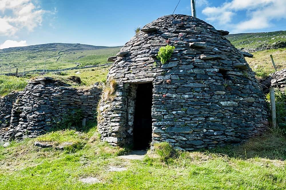 Hut site in LoughgurHut site · 987 yd
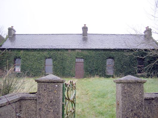 Lake Viewhouse · 1015 yd
 The SpectaclesVisitor information · 1186 yd
 Lough Gur Heritage CentreVisitor information · 1214 yd
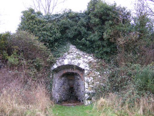 kilnkiln · 1231 yd
 Pedunculate OakPedunculate Oak · 1531 yd
 Black Castle (in ruins)Castle, tower house · 1.2 mi
 Grange Stone CircleArchaeological place · 1.7 mi
 Lough GurVisitor information · 1.8 mi
 Banoge's WellSpring · 2.1 mi
Other information
Photo: Credit not shown in the picture search · Rights wording not checked; contact us if this picture should be removed