What is recorded here
One of three wayside crosses (WM020-135002-) of which only one (WM020-135----) is in its original location. The original location of this cross is marked on the first and current editions of the OS 6-inch map in the square at the top of Killucan village. The cross was moved from the village to its current location. Described in 1976 as 'Darcy 1604 with Latin inscription, shaft grooved and now dislodged and broken. Squared base.' (ASI Survey files 1976). A second report from 1998 described this cross as 'A cross shaft consisting of two stones, inserted in a boulder, which may be the original base, but cannot be certain. The lower stone (H 0.58m ; 0.27m x 0.27m) is grooved along the edges vertically. The stone cement bonded to the top of the lower stone is square sectioned (H 0.43m; Wth 0.26m ; T 0.26m) . On the top of the surface of this stone is a coating of copper with fragment of slate embedded, and there is an iron pin (dims. 0.08m; H 0.02m) projecting upwards. No trace of the inscription described in 1976 can now be deciphered.' (ASI Survey file 1998). This cross commemorates Arthur Darcy and his wife who died in 1604.
The monument record does not grant public access. Check the route and ask the landowner before entering private land.
- What survives
- Recorded monument
Places near here
 CrossCross, Wayside cross · 1 yd
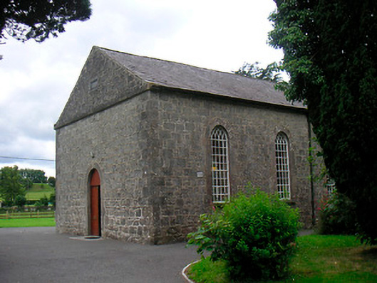 Killucan Presbyterian Churchchurch/chapel · 90 yd
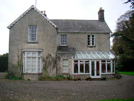 The Mansemanse · 108 yd
 Rathwire Moat & CastleCastle, motte and bailey · 266 yd
 TobermíonadHoly well · 1179 yd
 CastleCastle, unclassified · 1.2 mi
 GinkgoGinkgo · 4.2 mi
 ScregganWood · 5.2 mi
 Croppies' GraveMemorial · 7.8 mi
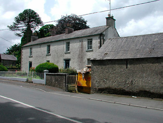 Rose Lodgehouse · 141 yd
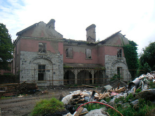 The Rectoryrectory/glebe/vicarage/curate's house · 173 yd
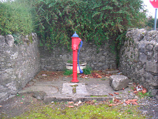 water pumpwater pump · 290 yd