What is recorded here
Half a metre of earth and stone still marks a twenty-four metre circle behind Rathpatrick House, small enough to walk across in a minute yet old enough to have watched the land change around it. The bank dips so low that a person could step over it without thinking, but the shallow ditch at either side and the steep drop into scraw bog below suggest the place kept its boundaries in more ways than one. Trees planted later now march past it like guards on a parade, dressing an ancient line in new leaves.
Located c. 100m S of the rear of Rathpatrick House, in an area formerly landscaped. There is a steep slope to the S of the monument, down to an area of scraw bog. A roughly circular area (int. diam. 24.5m) enclosed by a slight earth and stone bank (Wth 2m; int. H 0.2m; ext. H 0. 8m) with traces of an external fosse (Wth 2m; D 0.2m) at W and E. An avenue of seasoned trees runs E-W directly to the S of the monument, and is part of landscaping of the grounds.
Compiled by: Jean Farrelly
Date of upload: 27 September 2017
The monument record does not grant public access. Check the route and ask the landowner before entering private land.
- What survives
- Recorded monument
Places near here
 Erke Churchchurch/chapel · 1094 yd
 Ladys WellHoly well · 1111 yd
 Crucifixion plaque in BayswellCrucifixion plaque · 1124 yd
 IndicatedCastle, ringwork · 1160 yd
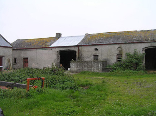 Bayswell Housefarmyard complex · 1181 yd
 Cnoc SeanrathaMemorial · 1.3 mi
 Castle PierceHouse, fortified house · 1.3 mi
 DelaneyMemorial · 3.1 mi
 Street fieldArchaeological place · 3.7 mi
 Tullow HillMountain / peak · 4.5 mi
 Clonmeen WoodWood · 4.7 mi
 Clomantagh HillMountain / peak · 5.0 mi