
What is recorded here
Indicated, Castletown (galmoy By.) was a ringwork castle on a hill above Castletown, its circular platform still rising two metres through nettles and bushes. It watched three townlands meet and a small church tucked seventy metres south-east, the kind of place built to be seen before it was understood. O'Curry called it the Moat of Erke, a name that sounds like a joke until you picture someone drawing a line around Erke's claim and waiting for the country to notice.
On top of a hill with commanding views in all directions over rolling grassland and tillage. Situated in the angle of the townland, at the junction of three townlands. A church (KK008-010001-) and graveyard (KK008-010002-) lies c. 70m to the SSE. Carrigan (1905, vol. 2, 279) gives O'Curry's description of this monument as the 'Moat of Erke'. A roughly circular platform (max. diam. c. 30m; H 2-2.5m) enclosed by a wide, shallow fosse (Wth 4-8m; D 0.3-0.4m) at its base, best preserved in the N sector. Monument very heavily overgrown with bushes and nettles at time of inspection.
Compiled by: Jean Farrelly
Date of upload: 27 September 2017
The monument record does not grant public access. Check the route and ask the landowner before entering private land.
- What survives
- Recorded monument
Places near here
 Erke Churchchurch/chapel · 92 yd
 Cnoc SeanrathaMemorial · 1123 yd
 Cody's CastleCastle · 1539 yd
 Fortification in Castletown (galmoy By.)Fortification · 1578 yd
 Enclosure in Castletown (galmoy By.)Enclosure · 1705 yd
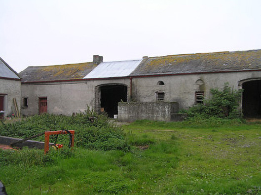 Bayswell Housefarmyard complex · 1.3 mi
 Castle PierceHouse, fortified house · 1.6 mi
 DelaneyMemorial · 3.5 mi
 Street fieldArchaeological place · 3.6 mi
 Clonmeen WoodWood · 4.5 mi
 Tullow HillMountain / peak · 4.6 mi
 Clomantagh HillMountain / peak · 5.3 mi
Other information
Photo: Credit not shown in the picture search · Rights wording not checked; contact us if this picture should be removed