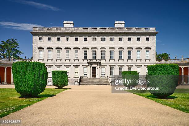
What is recorded here
Enclosure in Castletown (galmoy By.) is a vanished circular earthwork, about forty-five metres across, hidden in marshy valley land near the castle. Aerial photographs revealed its ghost shape before boots could find it, suggesting people once drew a clear boundary where water and soil still blur. The castle stands nearby while the enclosure disappears under grass and rain, keeping its circle private in the damp dark.
In marshy land on a valley floor. This was classified in the SMR (1987) and the RMP (1996) as ‘Earthworks’ having been identified on aerial photographs (CUCAP, AIG 22, 23, 1963). These earthworks have been described under the record ‘Settlement deserted’ (KK003-004----). However, in the field c. 150m NW of the castle (KK003-004001-) and bawn (KK003-004002-) of Castletown the aerial photographs shows a possible circular enclosure (diam. c. 45m). At time of inspection (1987) this not visible at ground level.
Compiled by: Jean Farrelly
Date of upload: 9 September 2015
The monument record does not grant public access. Check the route and ask the landowner before entering private land.
- What survives
- Recorded monument
Places near here
 Cody's CastleCastle · 214 yd
 Fortification in Castletown (galmoy By.)Fortification · 572 yd
 Enclosure in RossdarraghEnclosure · 1300 yd
 Cnoc SeanrathaMemorial · 1491 yd
 IndicatedCastle, ringwork · 1705 yd
 Kyleaderry Church (in Ruins)Church · 1746 yd
 Erke Churchchurch/chapel · 1.0 mi
 Clonmeen WoodWood · 3.8 mi
 Street fieldArchaeological place · 4.1 mi
 Tullow HillMountain / peak · 4.3 mi
 DelaneyMemorial · 4.4 mi
 Clomantagh HillMountain / peak · 6.1 mi
Other information
Photo: Credit not shown in the picture search · Rights wording not checked; contact us if this picture should be removed