What is recorded here
In rocky pasture, on a slight rise on the S slopes of the Ox Mountains. The northernmost of two conjoined cashels (see SL025-01502-). A slightly raised oval area (34m N-S; 25.7m E-W) enclosed by a mostly collapsed drystone wall which is most substantial at W (Wth 1.8m; int. H 0.8m; ext. H 1.4m) but elsewhere is reduced to a heap of stones. From SSE-SSW the wall is shared by the adjoining cashel (SL025-01502-). The interior is level. Part of a complex of cashels (SL025-01502-; SL025-01504-; SL025-01507-; SL025-01508-; SL025-01512-), enclosures (SL025-01503-; SL025-01511-), a possible enclosure (SL025-01505-), a rath (SL025-01506-) and a hut site (SL025-01510-).
The above description is derived from the published 'Archaeological Inventory of County Sligo' compiled by Ursula Egan, Elizabeth Byrne, Mary Sleeman with Sheila Ronan and Connie Murphy (Dublin Stationery Office, 2005).
Date of upload: 18 January 2008
The monument record does not grant public access. Check the route and ask the landowner before entering private land.
- What survives
- Recorded monument
Places near here
 Enclosure in RathoseyEnclosure · 143 yd
 IndicatedCastle, motte · 959 yd
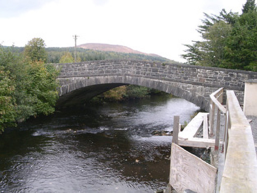 bridgebridge · 1007 yd
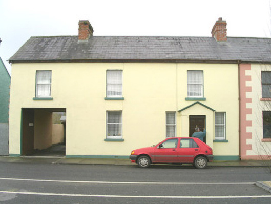 court housecourt house · 1090 yd
 DoomoreMountain / peak · 1.1 mi
 Man-made underground passage in CarrowgavneenMan-made underground passage · 1.1 mi
 Tullaghan HillMountain / peak · 1.2 mi
 Moymlough Castle (in Ruins)Castle, tower house · 2.0 mi
 RinnatalleenHeadland · 2.8 mi
 Derinch PointHeadland · 3.1 mi
 Giant's GraveArchaeological place · 3.9 mi
 CarrigeenfaddaIslet · 4.0 mi