What is recorded here
In improved pasture, on a W-facing slope. Enclosure is partially visible on an aerial photograph (G.S.I. 16-4-1974 R.438/7). A semi-circular area (dims. 23m N-S straight side; 11.5m E-W) defined by scarp (Wth 2-3.2m; H 0.25-0.37m). The monument is possibly truncated by a former field boundary, reduced to scar (long axis N-S) to the E. There is no trace at ground level of the monument extending to the E and it may have been further truncated by another field boundary (long-axis E-W) extending to E. However, on the Ordnance Survey ortho image the eastern half of the monument is visible as a cropmark (overall diam. 34m). The interior is grass covered. Enclosures (TS059-093001- and TS059-093002-) are c. 34m to W and c. 60m to E.
Compiled by: Jean Farrelly
Date of revised upload: 20 October 2015
This remains an important historical record, but the official description says the monument is no longer visible or has been destroyed. The monument record does not grant public access. Check the route and ask the landowner before entering private land.
- What survives
- No visible remains or recorded as destroyed
Places near here
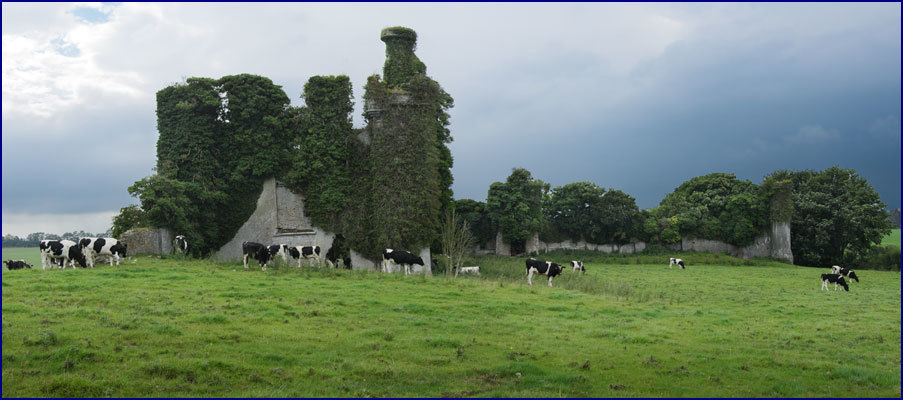 Enclosure in Rathneaveen (ormond)Enclosure · 85 yd
 LisnaboolaEnclosure · 1172 yd
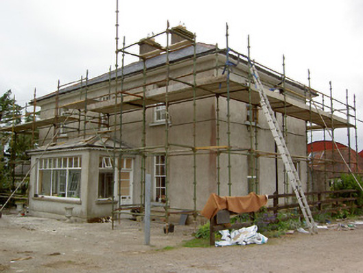 Greenrath Househouse · 1461 yd
 Soloheadbeg Ambush SiteMemorial · 1499 yd
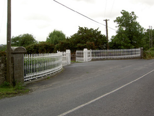 Kingswell Housegates/railings/walls · 1518 yd
 CastleCastle, unclassified · 1557 yd
 MoatCastle, motte and bailey · 1.0 mi
 Soloheadbeg Ambushambush · 1.5 mi
 I.R.A. 3rd. Tipperary Brigade MemorialMemorial · 1.6 mi
 It's a long way to TippereryHeritage attraction · 1.7 mi
 European ashEuropean ash · 2.6 mi
 The RockViewpoint · 4.2 mi